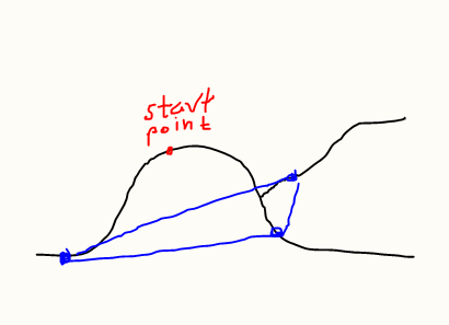
After using the Service area tool in QGS 3.0.1, I'm left with a point layer with each feature representing the furthest one can reach on the network given the parameters (max minutes or meters). How can I convert this result to something useful, such as polygons containing the service area or lines along the network that are within the parameters?
Given that the tool is called "Service area", I would have thought it should export polygons.
I have tried connecting the points with lines, but cant figure out how to order them properly. Also, since the Service area tool only creates end points, if you make a polygon out of the points, some areas that should be included aren't, as shown in the image below. 
