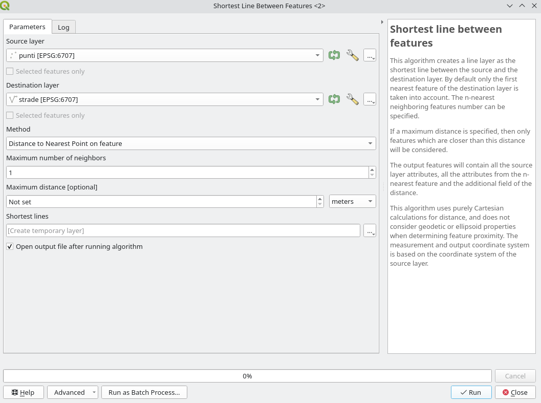
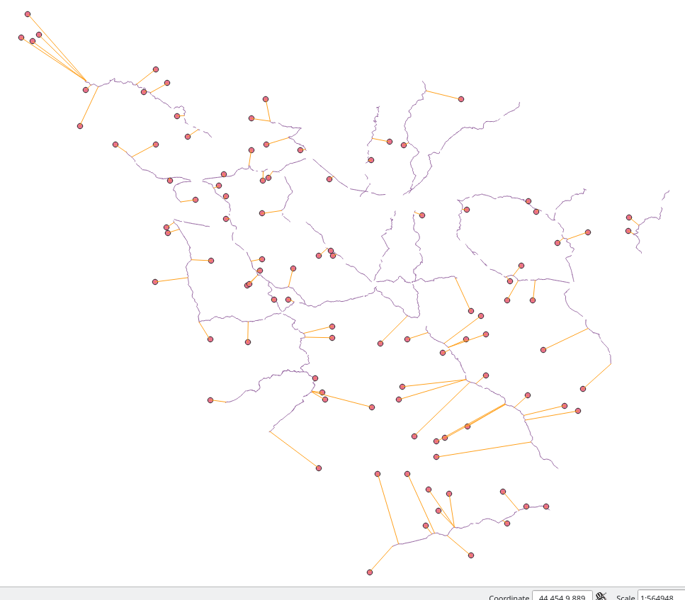
I am trying to compute on QGIS the distance from some clusters (ie points) to their closest road (ie lines); no need for all combinations, just the distance from each cluster to the closest road. To do so, I saw on a forum (on this post) that a good method was to transform lines into points, which I did, and then to compute the distance between both point layers. Nonetheless, when trying to do the last step, I get this error :
"/Applications/QGIS.app/Contents/MacOS/../Resources/python/plugins/processing/tools/vector.py", line 211, in spatialindex
idx = QgsSpatialIndex(layer.getFeatures(request))
Exception: unknown"
I am using a MAC. I tried on both QGIS 2.18.2 and QGIS 3.0.3, and got the same error. I tried, as advised on a page, to export geometric attributes using MMQGIS, and then re-importing them on QGIS, but same error. I also heard that it could be useful to check the validity of points ; nonetheless as I am using all the major roads network in Africa, I get millions of points, and checking them would take hours and hours ... I tried on QGIS3 to compute the distance between points and line centers (which does not give me the answer I want, as it is not the closest distance, but I did so to check if it was working this way), and it worked well, so I guess the issue lays in the transformation of my line layer into points
Has someone faced this issue of spatial index error, and knows what is means exactly? Is there a way to correct the points, to get rid of those not correct if this is the issue ?


