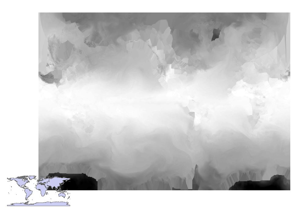
I have a netcdf file which I converted using Make NetCDF Raster. Unfortunately, the x and y are not, I think, properly define. One way to solve this is by correcting the extent (I am not sure here) but I would like to ask your suggestions to fit the extent of the raster to my shapefile. Since it is global, the coordinates would be -90 to 90 and 0 to 360. I used ArcMap 10.2 for the processing.
2 Answers
When exporting a NetCDF, yes, you must specify the coordinate extent to export your raster which I believe you have done correctly. To include the entire raster you typically set it -90 to 90 and 0 to 360.
Your problem seems that your Geographic Coordinate System / Projected Coordinate System (optional) for your raster image (the larger black and white map) and shapefile (the smaller polygon map of the earth's continents) are not the same.
Check by right clicking on each datalayer in the Table of Contents and scrolling down to properties. Click on properties. In 'layer properties' select the 'Source' tab and look at the Geographic Coordinate System and Projected Coordinate System.
If the geographic coordinate systems do not agree:
Use the 'Define Projection' tool in Data Management to update a geographic coordinate system.
If the projections do not agree: Use the 'Project' tool in Data Management to re-project spatial data.
-
Hi, thanks. I have done define projection tool, the project tool as well. It does not work.– user2543Commented Aug 3, 2018 at 15:35
It seems defining and projecting the raster do not work. So what I did include the following:
- I created a shapefile of control points.
- I used georeferenced tool to drag the four corners of the raster and check the View Link table. I save it and edited the generated text file to fit my raster from and to points.
- Then I opened Warp from File and used the generated link file. And it worked!
I used ArcMap 10.2. I hope this helps for future reference.

