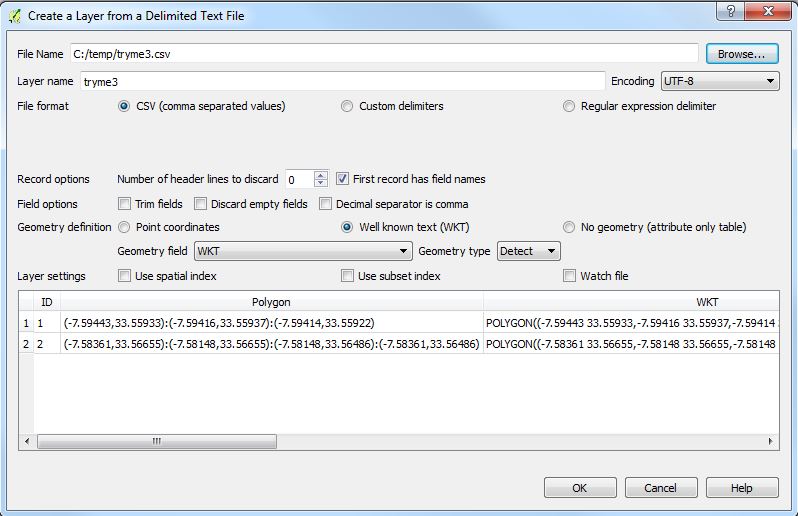
I have a CSV table as following :
ID;POLYGON
1;(-7.59443,33.55933):(-7.59416,33.55937):(-7.59414,33.55922)
2;(-7.58361,33.56655):(-7.58148,33.56655):(-7.58148,33.56486):(-7.58361,33.56486)
The coordinate system used is WGS84. Polygons have no holes and they are all single parts.
I need to convert it to a Polygon feature class/shapefile. I have access to QGIS or ArcGIS, but welcome answers in other software as well.
Any ideas on how to proceed?


