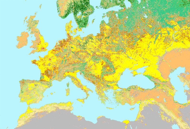
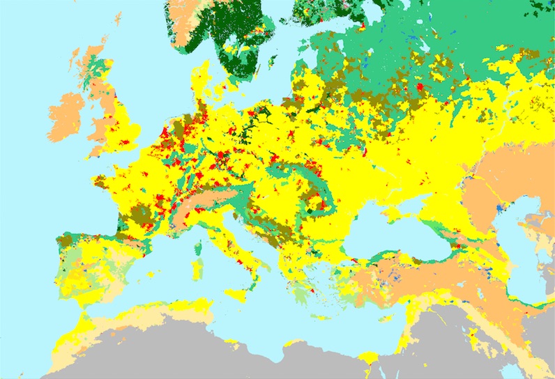
I'd like to vectorise the Natural Earth II raster in order to be able to change its colours and display it with as a vector map. Using gdal_polygonize.py won't help as it will create 1 polygon per pixel.
Are there any tools out there able to do the job, ie create polygons by grouping pixels having the same value more or less a threshold?
EDIT: the task it roughly the same as what MapBox guys did to create their vector hillshade, and probably their low zooms landuse.


