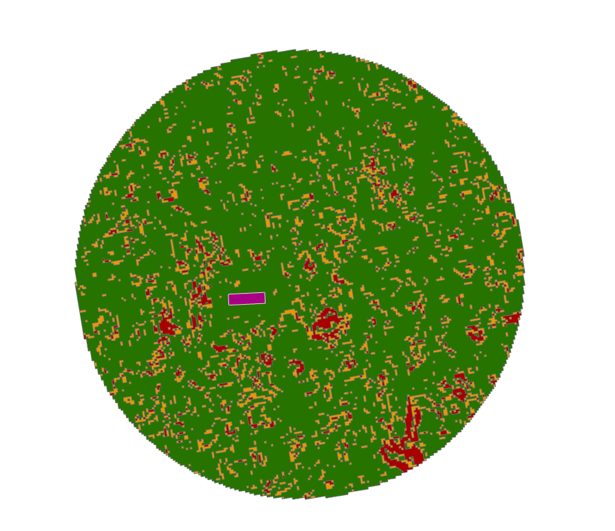
I have a task that sounds simple, but I just can't get through the last step. I need to find suitable areas where wind farms that have a size of 500x150 meters, could be placed. The restrictions are slope - best areas are form 0-2 degrees and 2-3 degrees are worth considered - and a 3 km buffer from the selected location. Data used here was SRTM as this is preliminary study. My workflow was to buffer the locations, clip the DEM, create slope, reclass into 3 categories and convert to shapefile.
My categories of reclass are as follows:
- First category - 1 = 0-2 degrees - green;
- Second category - 2 = 2-3 degrees - orange;
- Third category - 3 = all other data - red.
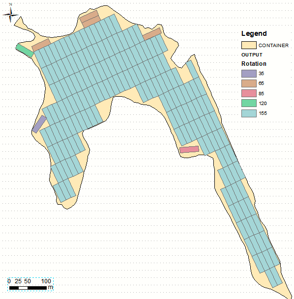
The issue that I am facing is that I would like know many 500x150 meters polygons can I fit in the green area, without overlapping the orange and red areas and without overlapping the polygon itself. The end result should be a shp with the possible positions for the aforementioned 500x150 meters polygon.
I should also specify that the 500x150 meters polygon can have any position/orientation and that I have access to ArcGIS Desktop 10.6/ArcGIS Pro 2.2/Global Mapper 19 and QGIS and my coding skill relate to very simple tasks that I replicate from other users.
I had a look at Checking if polygon fits inside another polygon using ArcGIS Desktop? where a similar things is described, but with circles and using ETGeowizard, also an older version of Arcmap.
Also, Packing Polygons within polygon using ArcGIS Desktop? is almost what I need, but the answers are just to above my level.
EDIT: the purple area is an existing possible location drawn by hand. I am trying to figure out the maximum number of 500x150m polygons that can be mosaic-ed into the green area. They don't necessarily have to touch each other.


