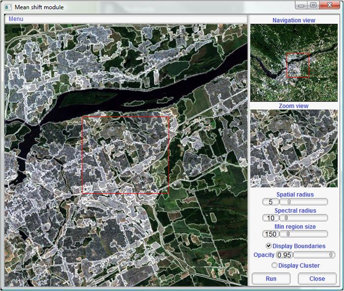
In the past I've used PCI Geomatica to do something similar using the softwares classification functionality. Are there some tools/tricks in ArcGIS that will partially automate the process. I remember reading somewhere about rasterizing an orthophoto and assigning values to rooftops, which polygons where then created from those values. I can see there being issues in trying to automate the task as there will surely be some inaccuraces do to color, obstructions, image quality, etc.
-
Do you have stereoscopic photos, or a reliable LiDAR scan of the area?– nagytechCommented Jul 20, 2012 at 21:34
-
@Geoist - Unfortunately I don't. The only data I have to work with is an orthophoto. However, it would be great if you could add a short comment on using your approach and data (stereoscopic photos, LiDAR). Someone may find that useful.– dchaboyaCommented Jul 20, 2012 at 21:41
-
In short, LiDAR data can assist in identifying planes which are at an offset to the ground. Cost is, however, a major factor in employing such a solution. Stereoscopic photos, on the other hand, are relatively cheap, the process of using parallax to identify structures is a bit more complicated.– nagytechCommented Jul 20, 2012 at 21:56
-
can anyone provide the link for BREC4GEM software? I have downloaded it but it seems to be broken an is missing the metadata file. Any leads will be hugely appreciated.– SenjutiCommented Aug 17, 2017 at 16:53
-
This does not provide an answer to the question. Once you have sufficient reputation you will be able to comment on any post; instead, provide answers that don't require clarification from the asker. - From Review– KerstenCommented Aug 17, 2017 at 17:40
4 Answers
There are many options for you in ArcGIS, however I would stay open to open-source solutions too. You can purchase an extension for ArcGIS called Feature Analyst, which uses a feature extraction algorithm. Otherwise, try Iso Cluster Unsupervised Classification (Spatial Analyst) on 4-band DOQ's (Earth Explorer). Once you find the right recipe for classifying buildings in your DOQ, try running the product through a raster filter prior to vectorizing the raster with Raster Domain or Raster to Polygon.
For an open-source solution, Orfeo Toolbox has powerful image segmentation, clustering and feature extraction capabilities.

-
What a great answer @Aaron. You provided three solutions: one for existing software i'm working with, a paid solution (which looks awesome), and an open source solution (always good to support public projects). Thanks for taking the time.– dchaboyaCommented Oct 22, 2012 at 16:22
I don't know there is any way to automate such process by using ArcGIS. But I strongly recommend you to check out one software which name is eCognition developed by Trimble.
eCognition is based one the idea of object oriented classification; it builds up a picture iteratively, recognizing groups of pixels as objects. It uses the color, shape, texture and size of objects as well as their context and relationships to draw the same conclusions and inferences that an experienced analyst would draw.
I had tried this software before and I think it extracted roofs and other kind of features (parking lot, street, rivers) very well.
Are there some tools/tricks in ArcGIS that will partially automate the process
If you're not averse to buying an extension product, you could take a look at Image Analysis for ArcGIS, which may help with this.
"...it enables you to extract up-to-date information from imagery directly into a geodatabase"
-
Looks like that software could potentially work as it is designed to work with imagery, but don't have the funds to purchase it.– dchaboyaCommented Jul 23, 2012 at 18:08
Also check out this GEM User guide: Geospatial tools for building footprint and homogeneous zone extraction from imagery.
It provides an in-depth step by step look at how to extract building footprints using both ArcGIS DEsktop and QGIS with plugins Built-up RECognition tool (BREC) and GRASS.
-
I know it'd been about 2 years, but do you have an working link by any chance? Commented Aug 17, 2017 at 6:23
