I am very new with Google Earth Engine and I try to make a landcover classification using Sentinel-2 imagery to get the urban area over a very large area (country wide ideally).
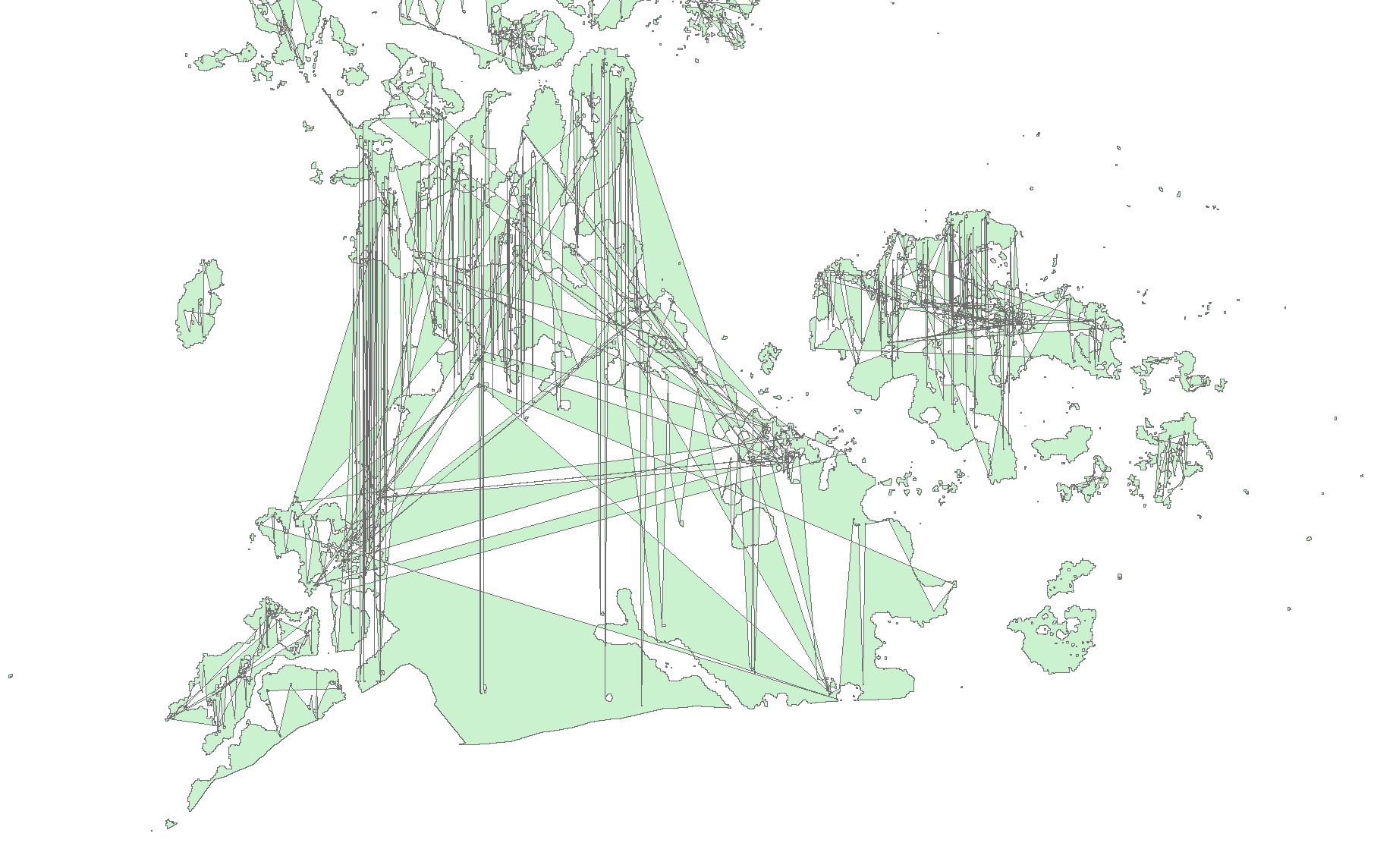
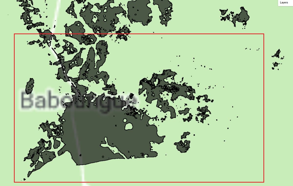
I was able to realize unsupervised classification and convert it into vector ("small" area for test) and the result displays well. But when I want to export on my drive and use it in ArcMap, the results is very different from what I can see in GEE.
Below is the code I used:
var AOI = table
function maskS2clouds(image) {
  var qa = image.select('QA60');

  // Bits 10 and 11 are clouds and cirrus, respectively.
  var cloudBitMask = 1 << 10;
  var cirrusBitMask = 1 << 11;

  // Both flags should be set to zero, indicating clear conditions.
  var mask = qa.bitwiseAnd(cloudBitMask).eq(0)
      .and(qa.bitwiseAnd(cirrusBitMask).eq(0));

  return image.updateMask(mask).divide(10000);
}

// Map the function over one year of data and take the median.
// Load Sentinel-2 TOA reflectance data.
var dataset = ee.ImageCollection('COPERNICUS/S2')
                  .filterDate('2018-12-01', '2018-12-30')
                  .filterBounds(AOI)
                  // Pre-filter to get less cloudy granules.
                  .filter(ee.Filter.lt('CLOUDY_PIXEL_PERCENTAGE', 20))
                  .map(maskS2clouds);

var median = dataset.median();

// Set the training AOI
var training = median.sample({
  region: AOI,
  scale: 10,
  numPixels: 5000
});

// Train the cpu to make classification
var clusterer = ee.Clusterer.wekaKMeans(15).train(training);
var result = median.cluster(clusterer);

// Only select Nola area.
var Nola = result.clipToCollection(AOI);

// Create a mask to only keep urban area.
var maskUrban = result.updateMask(result.eq(10));

// Conversion To vector.
var clusterValue = maskUrban.select('cluster');

var classes = clusterValue.reduceToVectors({
  reducer: ee.Reducer.countEvery(),
  geometry: AOI,
  scale: 10,
  maxPixels: 1e8
});
var result2 = ee.FeatureCollection(classes);
Map.addLayer(result2, {},'Urban vector');

// Export Vector data.
Export.table.toDrive({
  collection: result2,
  description: 'CAR_2018_VectorUrban_Nola_2',
  fileFormat: 'SHP'
});


Map.addLayer(median, {bands: ['B8','B4','B3'], min: 0.0, max: 0.3}, 'S2 - 842');
Map.addLayer(result.randomVisualizer(), {}, 'clusters');
Map.addLayer(maskUrban, {},'Mask urban');
Map.centerObject(AOI,9);
The exported result as seen in ArcMap:

If anyone of you has an idea of what is going on and/or how it is possible to fix it, let me know.

