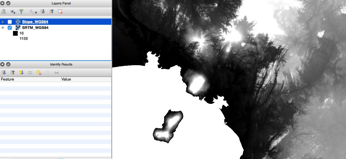
This is closely related to several other questions on this site: here, here, here etc. However, my issue is not resolved by following the answers provided.
I am using the Raster Terrain Analysis plugin in QGIS ver 2.14.3. I want to create a Slope layer based on SRTM imagery. I understand that confusion can arise because the lat-lon units are degrees, and the vertical units are in metres. I calculated the z-factor with the formula z = 1/(111320*cos(latitude*pi/180)) provided in this answer. Which gives 0.00000899928 (I'm using imagery which spans the equator so used latitude = 0).
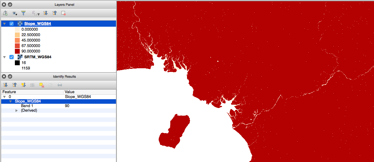
However, I get a layer of either 0 or 90. It is very similar to the question here. Re-saving the layer with WGS84 before using the plugin does not help.
I am able to produce a sensible looking Slope layer if I convert the CRS to World Mollweide, but I would like to know why it isn't working with CRS in degrees? What am I doing wrong?


