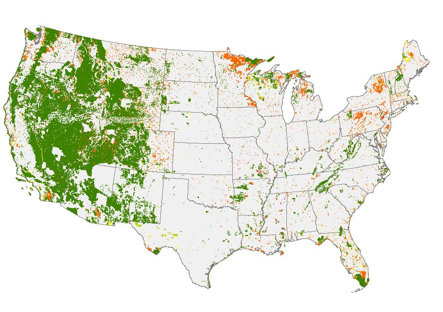
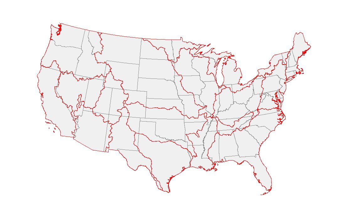
I am trying to do something relatively simple but with large shapefiles. I have a shapefile of protected areas in the USA: 
I want to calculate the percentage and proportion of protected areas in each watershed. I want to retain the designation of each protected area as well (i.e., federal, state, etc.)
To do this I started to try to intersect the two shapefiles:
pas <- readOGR(dsn = ".", layer = "PADUS1_4Combined") # protected areas
huc <- readOGR(dsn = ".", layer = "HUC2_USA_PRJ") # hydrologic units (2 digit, USGS)
Checked the CRS
crs(huc)
crs(pas)
crs(huc) CRS arguments: +proj=aea +lat_1=29.5 +lat_2=45.5 +lat_0=23 +lon_0=-96 +x_0=0 +y_0=0 +datum=NAD83 +units=m +no_defs +ellps=GRS80 +towgs84=0,0,0
crs(pas) CRS arguments: +proj=aea +lat_1=29.5 +lat_2=45.5 +lat_0=23 +lon_0=-96 +x_0=0 +y_0=0 +datum=NAD83 +units=m +no_defs +ellps=GRS80 +towgs84=0,0,0
Intersection:
test <- gIntersection(pas, huc)
I get this error:
Error in RGEOSBinTopoFunc(spgeom1, spgeom2, byid, id, drop_lower_td, unaryUnion_if_byid_false, : rgeos_crdMat2LinearRing: linearRing not created
I searched for this error and cannot find anything. I am dealing with a very large dataset here so I am wondering if this is the issue.
Is there a workaround using simple features (sf)?


sfand see what happens.sf::st_readas it is notably faster and then will let you try @Spacedman recommendation of using an sf class withst_intersection. I would also check if it is multipart geometry. In the sf class, if you print the object the geometry field will tell you if it is POLYGON or MULTIPOLYGON. If multipart I would explode the features before running an intersection.