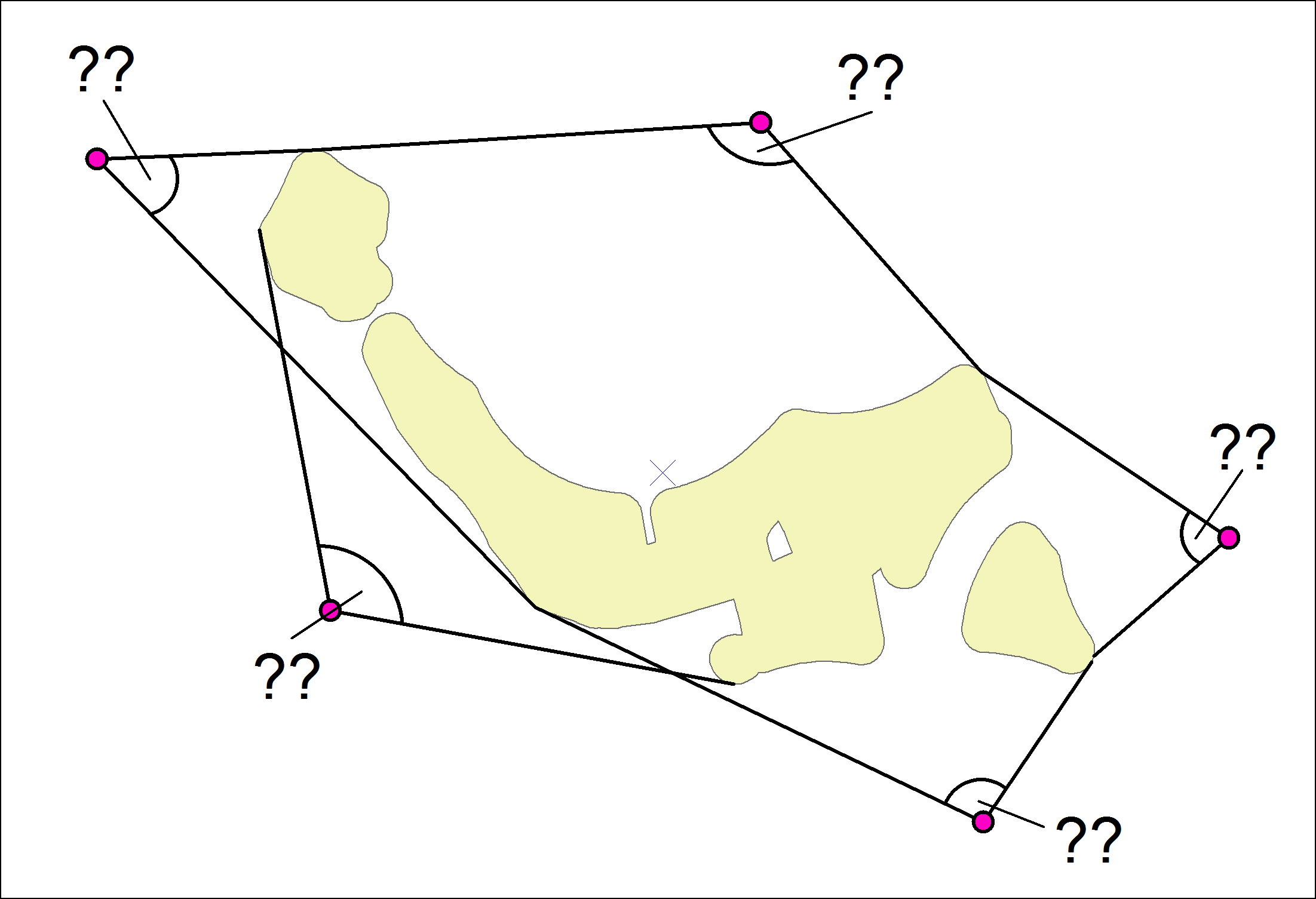
I am looking for a solution to the following problem.
I have several points (for example houses) and several polygons (eg forests). Seen from the houses, I can see the forests within a certain angle. This angle is different for each house. To calculate this angle, I need the points on the polygon where the angle of view is maximum. ie the extreme left point of the forest and the extreme right point of the forest. I could calculate the angle with these two points. This is about 1,500 points (houses), so that the drawing of lines and the coordination of the endpoints is unfortunately not an option.
I hope the drawing shows what I'm looking for.
Is it possible to determine the coordinates of the two outermost visible points of the forest for each building?
How I can determine the angles?
I use ArcGIS Desktop with a Standard license without any extensions.


arcpy.da.SearchCursordocumentation shows how to iterate shapefile rows, and usingSHAPE@XYfield token will give you a list of coords to walk.