My ultimate goal is same as here
Here is my steps:
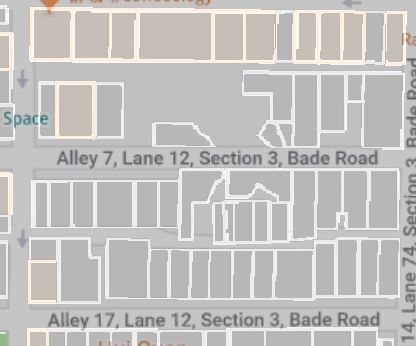
- The image is created using Python and saved as PNG format:
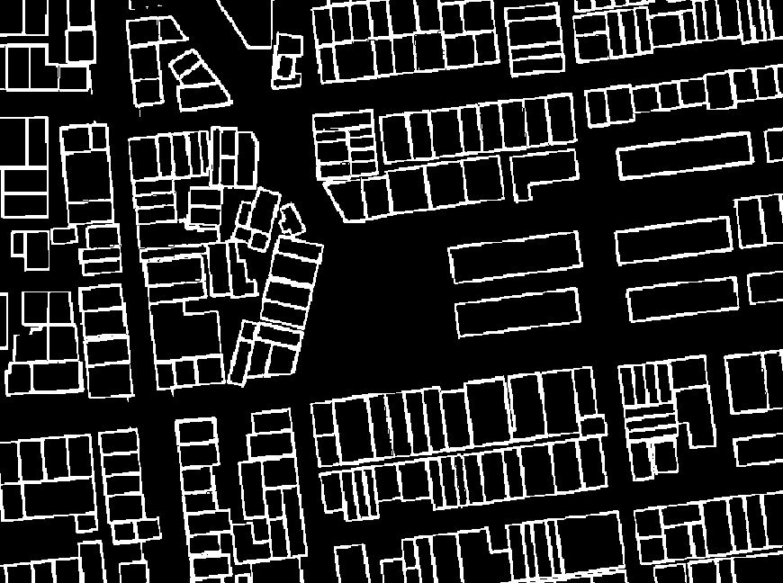
Import the image into QGIS using Georeferencing tool and saved as TIFF:

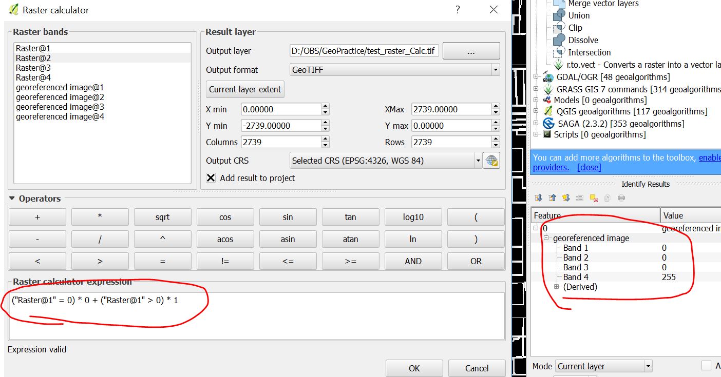
Reclassified the image value using
Raster -> Raster Calculatorin order to use processes such as r.thin and r.to.vect later according to here:
Not sure what's wrong here.
Or are there any other solutions?


