I had a question in QGIS Buffer distance vs Distance in Distance Matrix
which in turn made me to change my project CRS from EPSG: 3857 to EPSG: 25832.
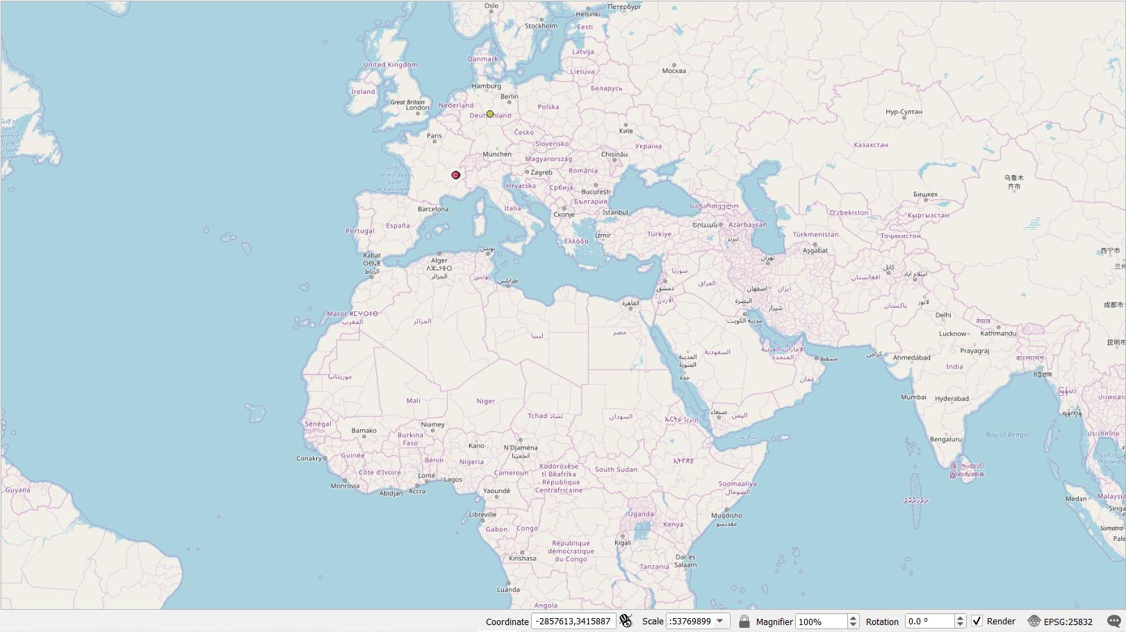
My project location is in the middle of Germany (Shown in the image with the green dot, that i added manually)
But then, i queried some data from Quick OSM, only for it to appear somewhere in south of France. (Shown as the red dot)
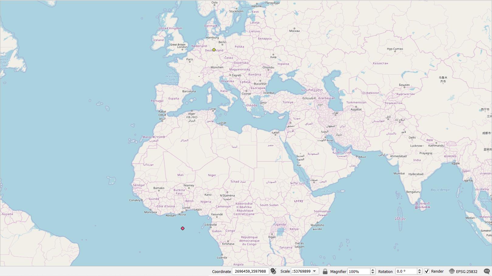
At first I realized that the OSMquery layer have a different CRS than my project. (EPSG: 4326), so in turn, I changed the layer CRS from the OSMquery to my Project CRS, which is EPSG: 25832, but then this happened:
The red dot (Representing the layer with changed CRS) appears on the sea near the African Continent!
Did I do something wrong? Is there a way to repair this? Is there any command I have to change in the QuickOSM? Or is this a problem with the CRS? Or I just missed a setting somewhere? (Note: I am very new to GIS software in general)


