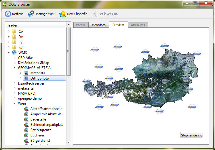
I have a problem that I am sure many GIS Teams or Departments have which is how to find, keep track of and manage multiple different datasets from multiple sources. I have read the responses from a similar question asked two years ago
Managing large amounts of geospatial data?
I was wondering if there are any other software solutions, I know about VoyagerGIS, which looks good, but it is linked with ESRI and wondered if there was a similar Open Source version.
To give you an overview of the current situation:
- Terabytes of Imagery which changes every 6 weeks, I would like to keep historic
- 1 Terabyte of MapInfo TABs
- ESRI Shapefiles again changes every 6 weeks
- 100s Gbs of CSV, GeoJSON, KML, SQLite, Excel spreadsheets, JPEGs, TIF files (some georeferenced, some with world files), these come in from multiple different sources.
I guess my perfect solution would be a GUI interface to allow me to update metadata, search based on filename or even attribute, a visual image (like seen in VoyagerGIS), it show metadata, a list of attributes. However, I would like to keep the original format of the data rather than loading it all into PostGIS.


