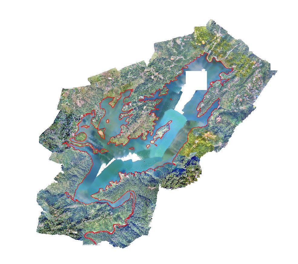
I am having a georeferenced UAV image over the lake. The image is a mosaic of several tiles. While doing processings by the experts the lake region ia not perfectly processed and left with voids and non-uniform appearance. How can I rectify the gap and fill the water region with uniform appearance. I have the water region digitized.
1 Answer
Photogrammtery is notoriously poor with finding tie points in highly spectral scenes like water or snow.
What you have is actually pretty excellent, considering.
If you want to directly manipulate (paint, smudge, clone) the imagery, try Paint.NET as it allows direct-edit of GeoTIFFs without breaking their georeferencing. Depending upon the spatial resolution of the imagery, Paint.NET may not be able to open it, unfortunately.
See these posts for more details:
Is there image editing software that will not alter a GeoTIFF's embedded georeferencing?
QGIS Georeferencer Problem After Photoshopping Source Raster
If that does not work, there is Serval for QGIS, which allows direct raster painting, but it is very tedious to work with.
Finally, if that all above does not work to your satisfaction, I would use the vector file of the waterbody that you have above with a few symbol levels to emulate the appearance of water.

