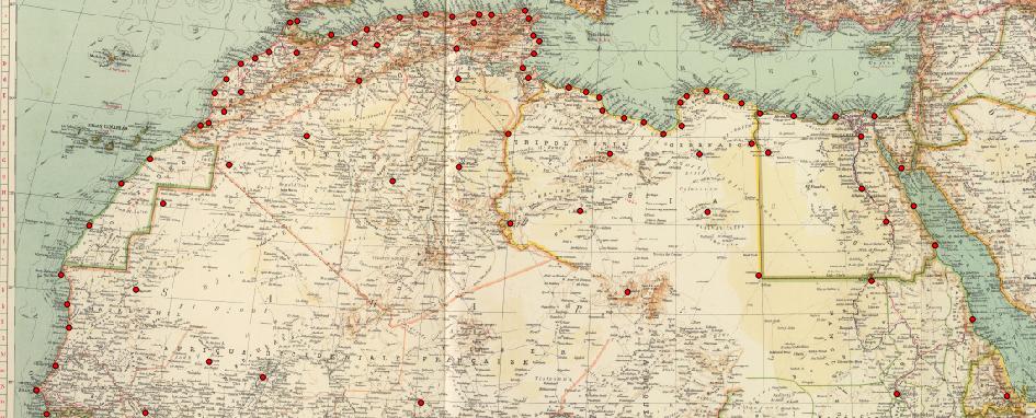
I am having issue with georeferencing a scanned map. Warping has occurred in the West in Morocco (near Marrakesh) as well as a sort of "black holes" in Libya and Northern Chad. As far as I can tell, the GCP coordinates are correct, and I have checked to see if the reference/scanned map is accurate, and as far as I can tell, it is. Furthermore according to documentation for QGIS (which is what I am using) the dX and dY fall within acceptable variation/range (not being greater than 10), which presumably rules out the GCPs being misplaced.
Any idea as to what may be the issue? The transformation setting for target SRS maybe? Other portions of the map are referenced fine.


