I'm working with GPS points and want to count how many of them fall within protected areas of 4 countries in Southern Africa (Eswatini, Zimbabwe, Mozambique and South Africa). I get the shape files for each from here https://www.protectedplanet.net/
The issue is there are 1768 GPS data points but I get a count of 1990 points within the protected areas which should be impossible.
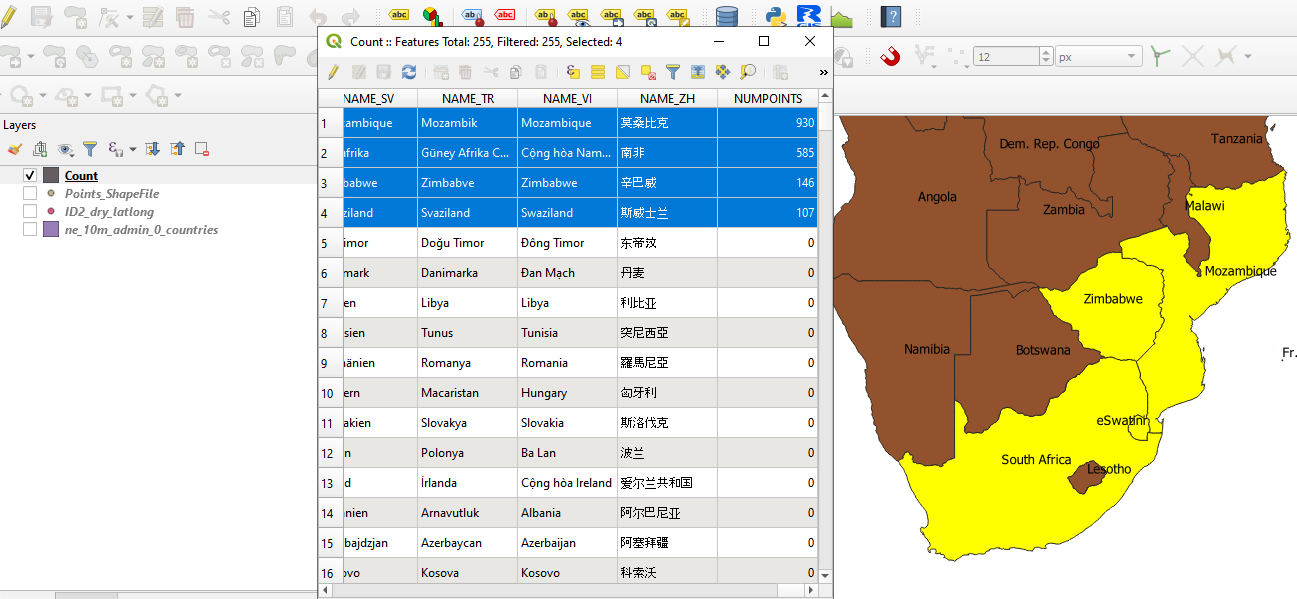
I thought it would work out if I did it separately but no luck. The number of overlapping points are 59 from Eswatini, 819 from Mozambique,154 from Zimbabwe and 958 from South Africa which still sums to 1990.
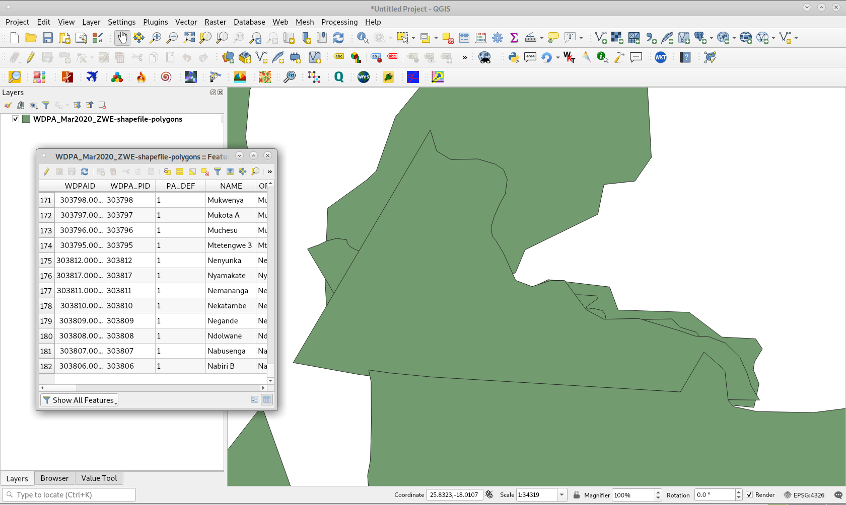
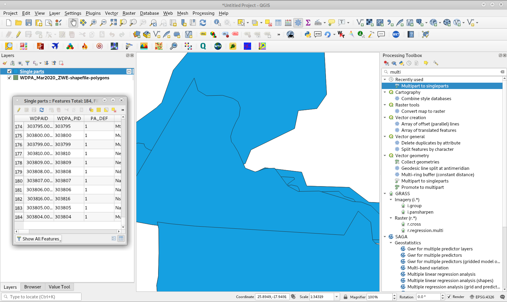
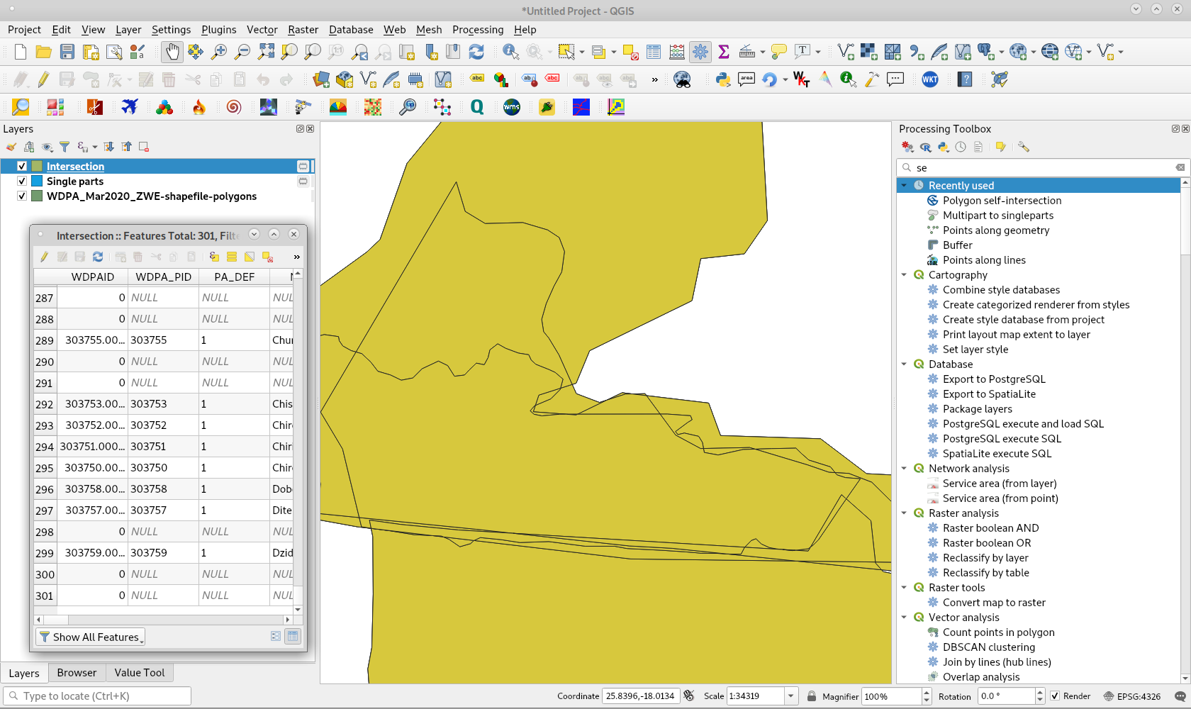
Then I thought maybe some of the protected areas overlap across countries so some points are counted twice but it doesn't look like that's the case either.
I've carried it out in QGIS using Count points in polygon and in R with st_intersects and get the same result.
Here are the GPS data if you'd like to replicate what I've done https://drive.google.com/file/d/1IXTCQXAmQQehxpTmJn9aB4gfp1Bm2RH2/view?usp=sharing


