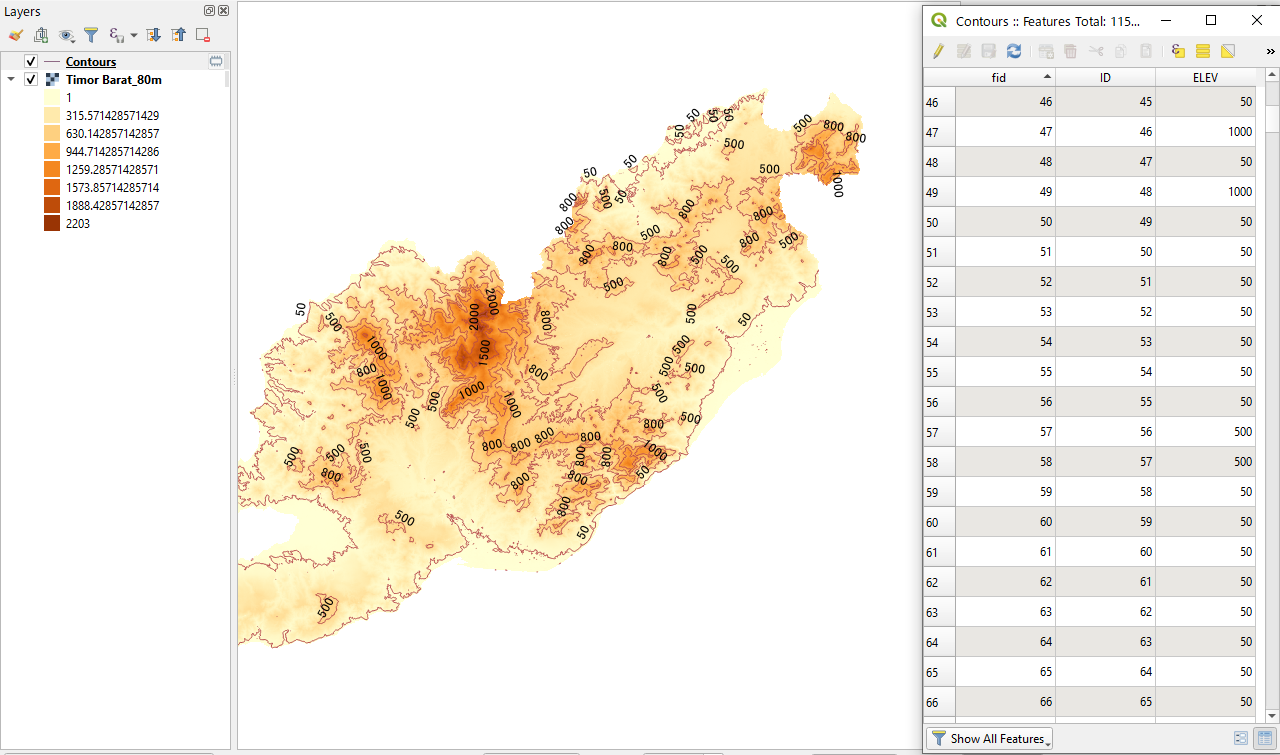
What I'm essentially asking is, is there a way to, when making contour lines using extraction in QGIS, assign heights to each line? For example instead of 1000, 2000, 4000, 6000 etc. etc. you have 500, 1000, 2000, 4000, 7000, 10000. So I want to put the lines at pre-chosen heights.  For example in this map it doesn't go up by the same amount each time, it goes up by a little at first and then slowly more. How do I do that in QGIS?
2 Answers
If you are using QGIS 3.10 or later, you have better control over the GDAL tools - See the visual change log.
It means, GDAL-Contour tool can take direct input from users to which elevation (height) it should create contour lines.
Run the tool (in the Processing Toolbox > GDAL > Raster Extraction) and find Advanced parameters > Additional command-line parameters [optional]
Then (1) Type in -fl 500 1000 2000 4000 7000 10000 (space as the separator). (2) Check out they will appear in the GDAL/OGR console call as you type in.
Then click on [Run].
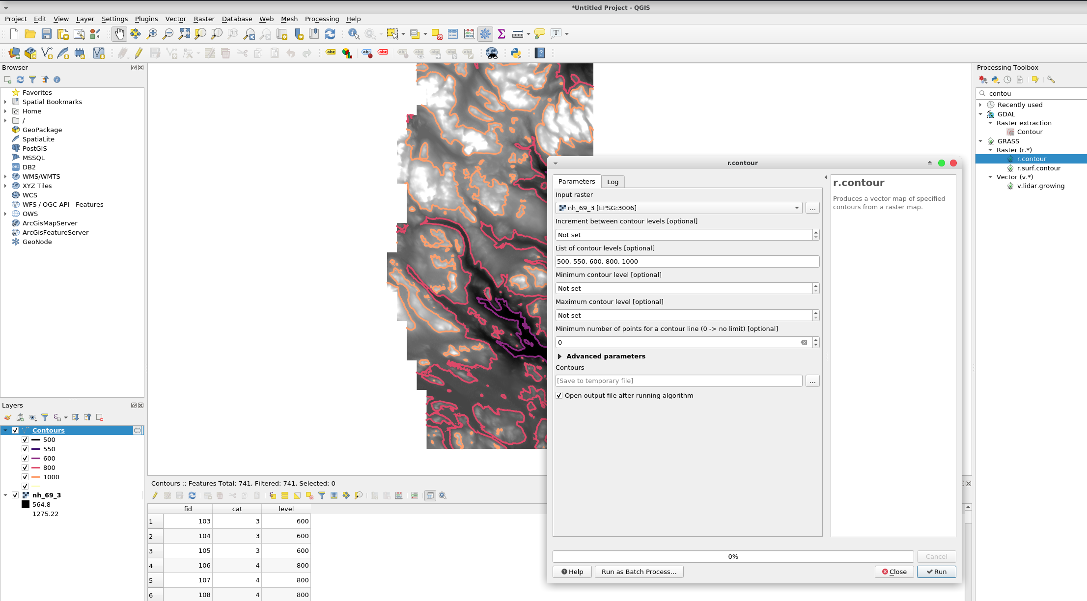
Use GRASS r.contour and you can input the contour levels you want:
Or use GDAL contour, then select using an expression, edit and delete the lines you want/dont want.


