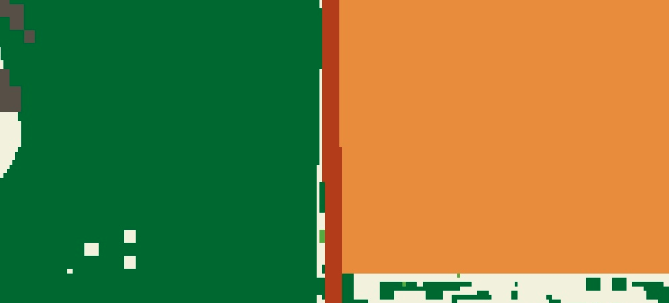
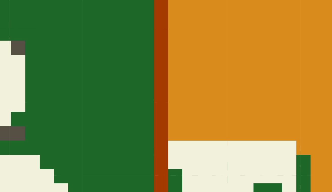
I'm trying to create a reduced resolution version of a categorical image using mode to reduce. The code is below and also at https://code.earthengine.google.com/0f433401de49c18cc48ff9c52eed5bf0. In the center of the reduced resolution image, there are a couple cells with a value in black (11) which does not exist in the full resolution version, nor does it look like it should be calculated by the reducer (especially considering I'm using mode). One thing is that at some point in the steps that created the full resolution image there may have been a value of 11 there!
This looks like a bug to me, but thought I'd ask for any insight.
I think @kkrao is onto something. This question was a bit of a simplification for demonstration purposes. Ultimately I want to export the image at reduced resolution, and in its native projection (EPSG:4326). Unfortunately the same error occurs when I export, and unless I'm missing something, there should not be a second reprojection happening if I do that? See updated code below and at link.
var lc_10 = ee.Image('users/jesse/reducer_test');

var lc_sld =
'<RasterSymbolizer>' +
 ' <ColorMap  type="intervals" extended="false" >' +
    '<ColorMapEntry color="#02682c" quantity="1" label=""/>' +
    '<ColorMapEntry color="#61aa36" quantity="2" label=""/>' +
    '<ColorMapEntry color="#e2c85f" quantity="3" label=""/>' +
    '<ColorMapEntry color="#ac9e8d" quantity="4" label=""/>' +
    '<ColorMapEntry color="#564F46" quantity="5" label=""/>' +
    '<ColorMapEntry color="#601818" quantity="6" label=""/>' +
    '<ColorMapEntry color="#75a8ea" quantity="7" label=""/>' +
    '<ColorMapEntry color="#e2e2d5" quantity="8" label=""/>' +
    '<ColorMapEntry color="#d8d7a9" quantity="9" label=""/>' +
    '<ColorMapEntry color="#f2f1dc" quantity="10" label=""/>' +
    '<ColorMapEntry color="#ab3c09" quantity="12" label=""/>' +
    '<ColorMapEntry color="#000000" quantity="11" label=""/>' +
    '<ColorMapEntry color="#e18c2c" quantity="1101" label=""/>' +
    '<ColorMapEntry color="#e18c2c" quantity="1102" label=""/>' +
    '<ColorMapEntry color="#e18c2c" quantity="1103" label=""/>' +
    '<ColorMapEntry color="#e18c2c" quantity="1104" label=""/>' +
    '<ColorMapEntry color="#e18c2c" quantity="1105" label=""/>' +
    '<ColorMapEntry color="#601818" quantity="1106" label=""/>' +
    '<ColorMapEntry color="#75a8ea" quantity="1107" label=""/>' +
    '<ColorMapEntry color="#e2e2d5" quantity="1108" label=""/>' +
    '<ColorMapEntry color="#d8d7a9" quantity="1109" label=""/>' +
    '<ColorMapEntry color="#e18c2c" quantity="1110" label=""/>' +
    '<ColorMapEntry color="#ab3c09" quantity="1112" label=""/>' +
  '</ColorMap>' +
'</RasterSymbolizer>';

Map.addLayer(lc_10,{},'10 meter', 0);
Map.addLayer(lc_10.sldStyle(lc_sld), {},'10 meter');


var lc_120 = lc_10.reduceResolution(ee.Reducer.mode(), true, 150).reproject({crs:'EPSG:4326', scale:120});
Map.addLayer(lc_120,{},'120 meter', 0);
Map.addLayer(lc_120.sldStyle(lc_sld),{}, '120 meter');
Map.setCenter(-94.718173, 48.796361, 16);

// native projection is EPSG:4326
print(lc_10.projection().getInfo());

// Should stay in native projection, right?
Export.image.toDrive({ image: lc_120, scale:120});


