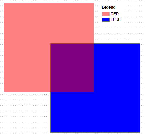
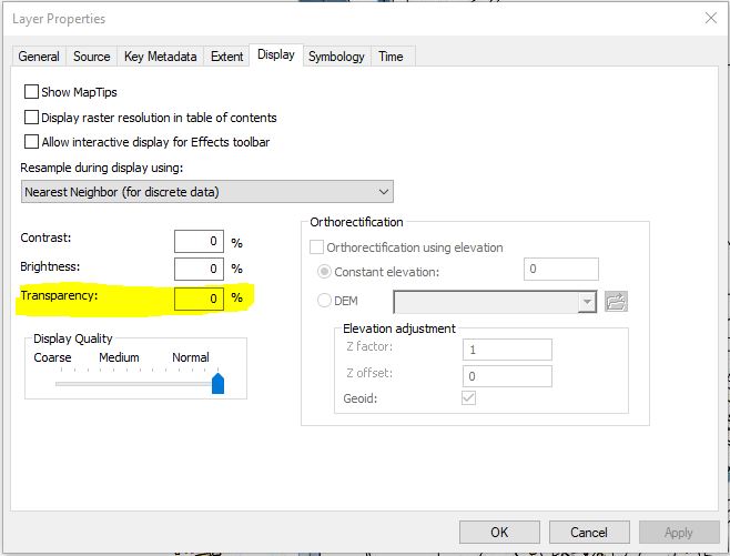
I have a question similar to Varying transparency of symbols within single layer in ArcMap. The only difference is that the raster dataset that I am using is gridded and unique values have been assigned to each grid cell. Now, I want to visually compare this raster with another raster.
Is there a way in the recent release of ArcGIS 10.7 to change the transparency of a raster?
When I try changing the transparency of a raster, instead of fading, the raster changes color. The above referenced question was asked six years ago, so maybe there is an updated method to do this which I am not aware of. Basically, I want to make the overlying raster a bit transparent, so that I can visually see the underlying rater, and do a visual comparison between the two.


