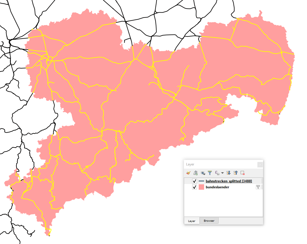
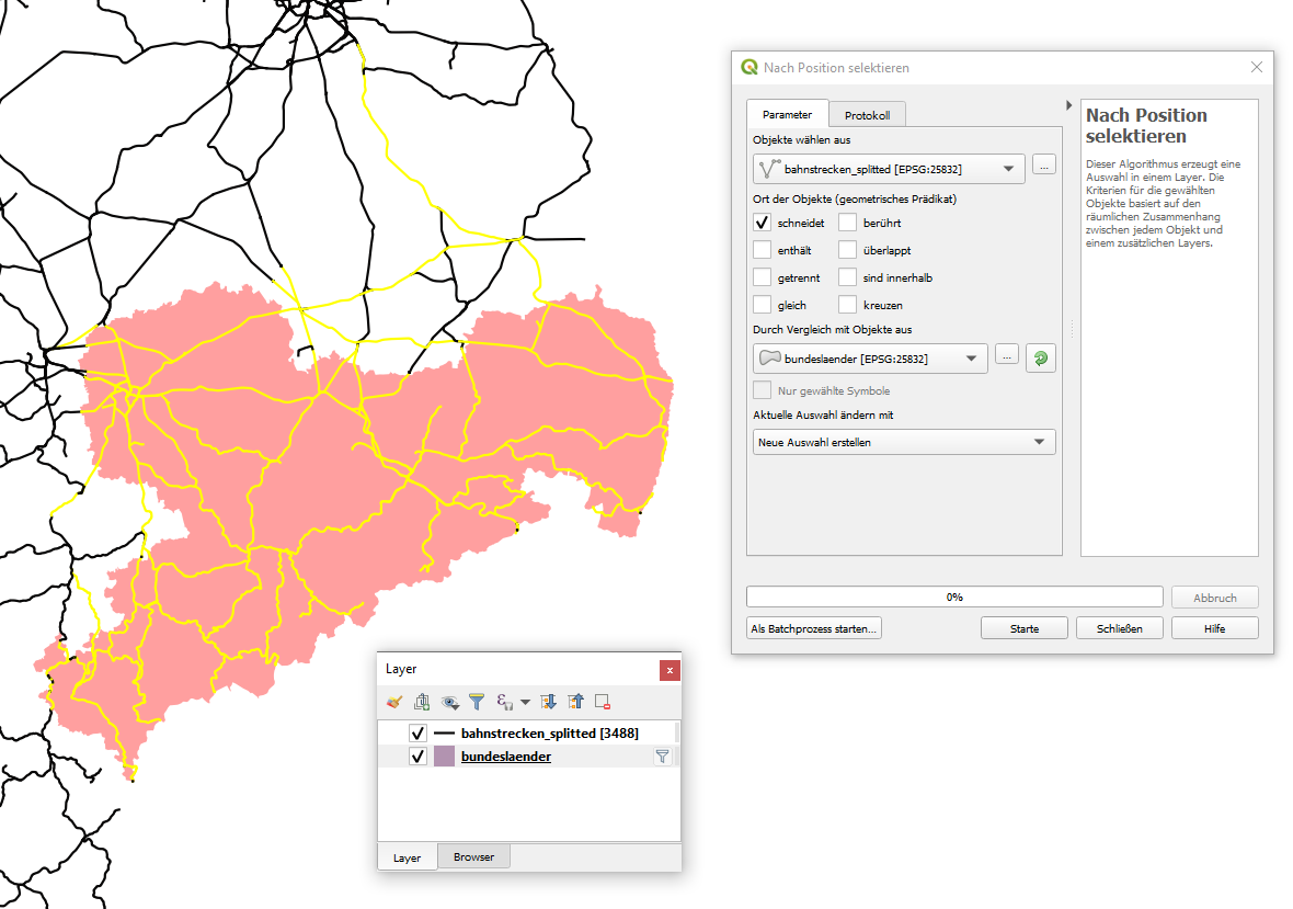
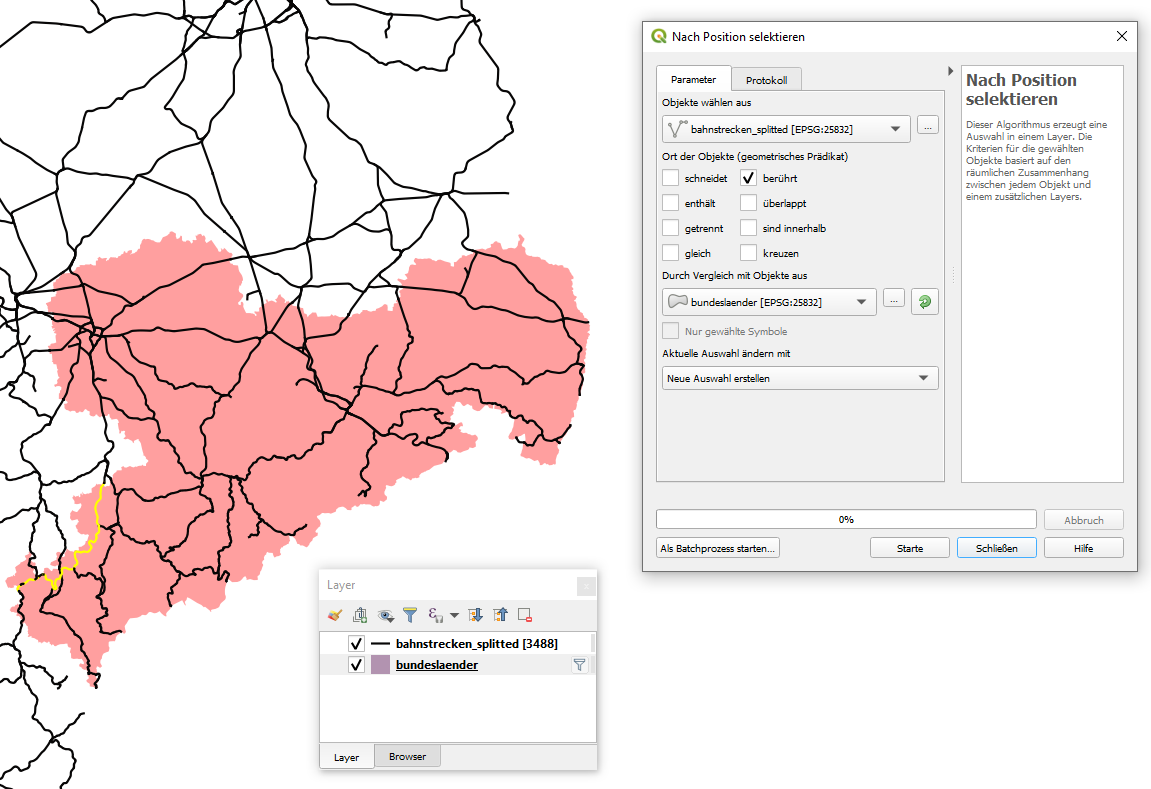
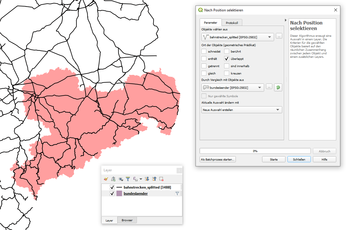
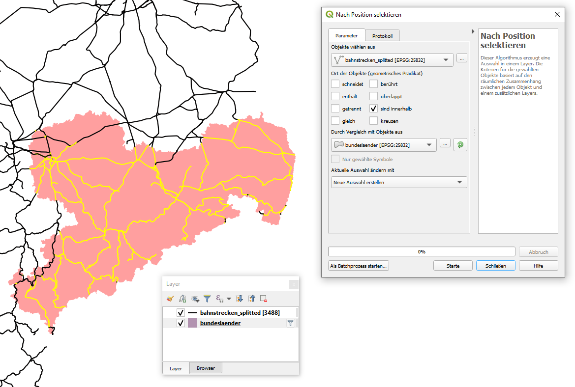
I surmise from your comments and your layer names that you want to calculate the total length of railway lines in each State, so if you are open to a pyqgis solution I can suggest the following approach which does not require splitting or trying to create selections of your line features. This will simply calculate the parts of the line geometries which intersect each polygon region and sum their length.
You can run this this code directly with a polygon layer of States and a line layer of railway lines with out modifying or splitting either one.
A few notes:
- It is important that both layers are in a projected CRS (which I see that both of yours already are).
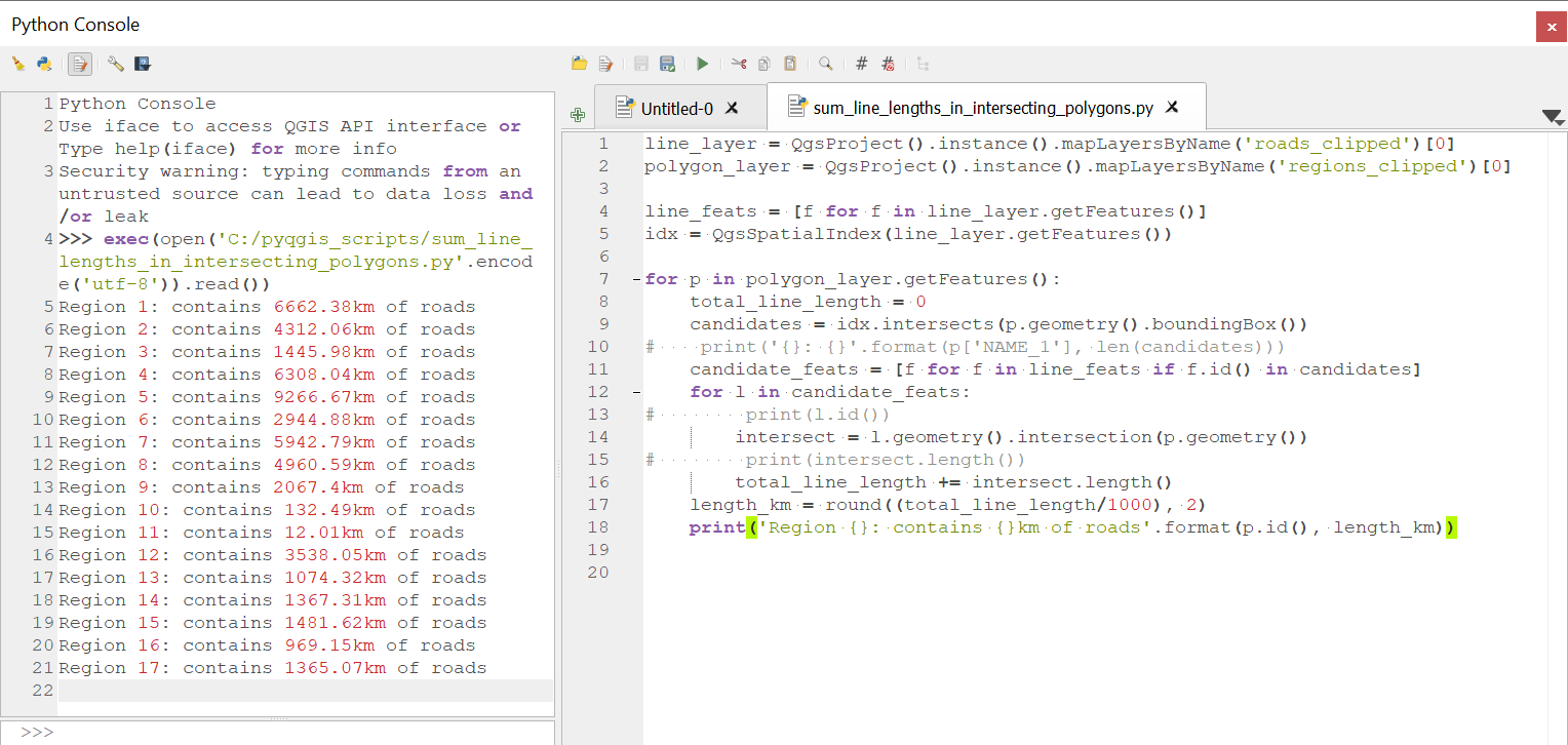
- I tested this with some data which looks similar to yours. A polygon layer with 17 regions and a line layer of roads with 3043 features. The code took around 25 seconds to complete so it's not instantaneous. I have used a spatial index to speed up the querying, but calculating the geometry intersection seems to be the computationally heavy part.
Paste the following code into an editor in the Python console and run. Make sure that the layer names match yours (I used layer names 'staaten' for states and 'bahnstrecken' for railways but if yours are different you will just need to change the first 2 lines of the script). Also please forgive my rusty German in the print statement at the end of the script.
line_layer = QgsProject().instance().mapLayersByName('bahnstrecken')[0]
polygon_layer = QgsProject().instance().mapLayersByName('staaten')[0]

line_feats = [f for f in line_layer.getFeatures()]

idx = QgsSpatialIndex(line_layer.getFeatures())

for p in polygon_layer.getFeatures():
    total_line_length = 0
    candidates = idx.intersects(p.geometry().boundingBox())
    candidate_feats = [f for f in line_feats if f.id() in candidates]
    for l in candidate_feats:
        intersect = l.geometry().intersection(p.geometry())
        total_line_length += intersect.length()
    length_km = round((total_line_length/1000), 2)
    print('Staat {}: enthält {}km Bahnstrecke'.format(p.id(), length_km))
My test data looks like this:
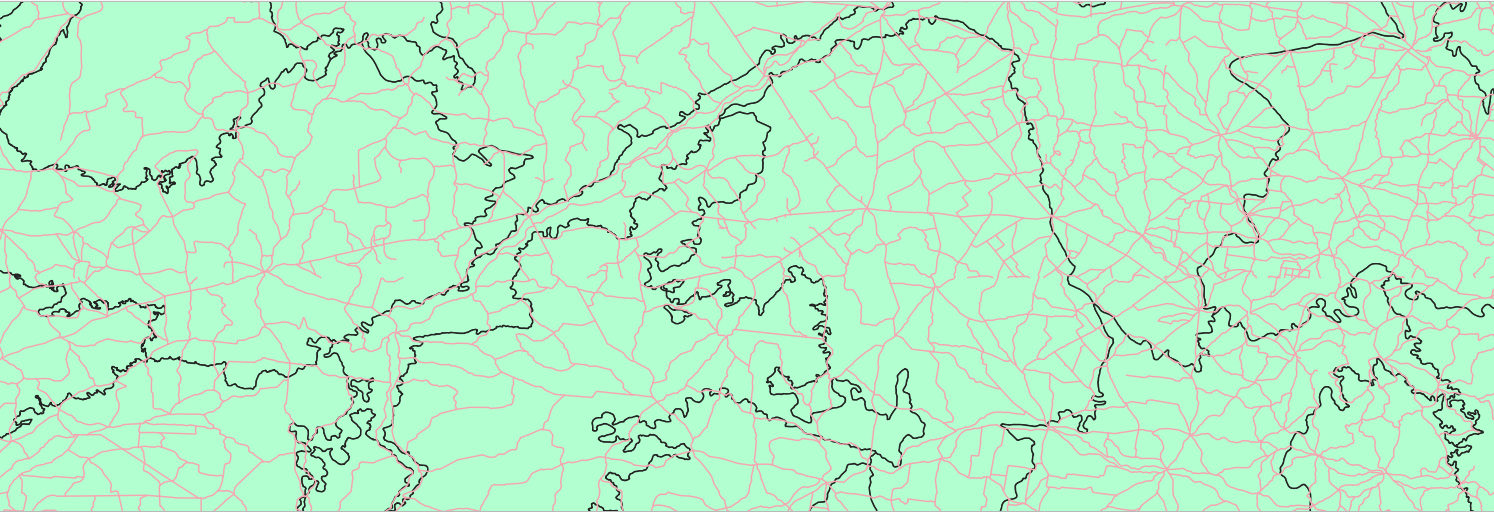
Example of output:
