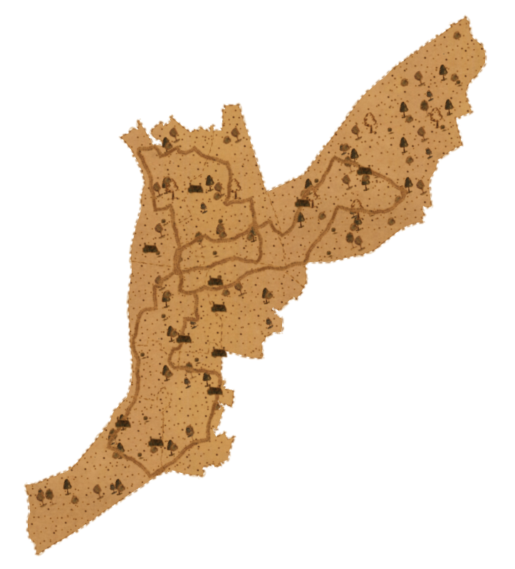
Looking to create the ESRI George Washington style set in QGIS. It is only avaliable as a .stlyx but the png's are available. Is there a way to set the length of the raster image to the segment length of a line or polygon edge?
Additional Information:
this shows what it should look like in Arc and also a link to the png images. https://www.arcgis.com/home/item.html?id=191ef05f8bd844c68eee365ada32561b
Downloaded a ArcGIS Pro trial to see what I should get in Arc.

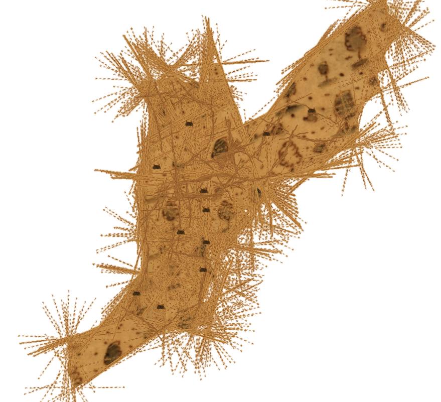
QGIS 3.16 view with points can be played about with and polygon fill can as well. Lines seem to be the biggest issue.

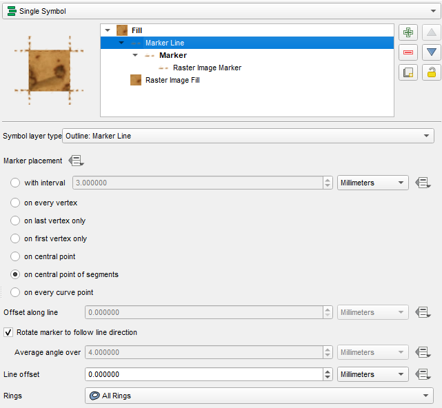
QGIS settings as follows, with a rotation of 90 degrees for the line so it runs along the line.

