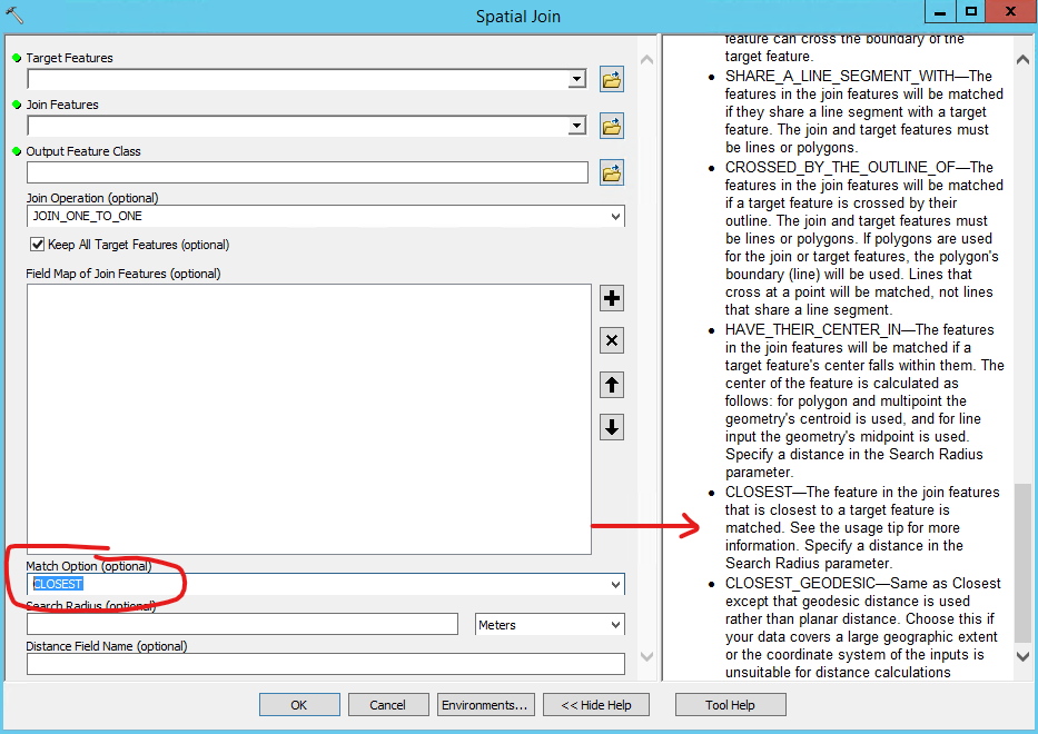
Using ArcMap, I have two feature classes. The first is my polygon parcel layer with crop type, irrigation type, owner, etc. The second is my line canal layer, which has a field for our water schedule (how many days until a farmer can take water again).
I need to determine if our water schedule has an impact on what methods farmers use to irrigate their fields.
Using the ESRI basic license, what tool would I use to add the water schedule field from the canal layer to my parcel layer, based on the closest canal? The canals do not intersect the parcel boundaries.

