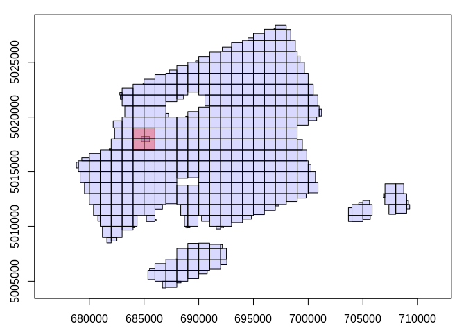
I would like to normalize a set of LAS files produced by Digital Aerial Photogrammetry (DAP) against a set of LAS files acquired by Lidar. The idea is to create the DEM raster from Lidar once and to reuse it when processing chunks for the DAP points.
The code creates two catalogues: one for the DAP, and one for the Lidar. Before entering into the function with catalog_apply(), I would like to create a DEM from the Lidar using the extent of the DAP. My code does reduce the LAS files referenced by the LAScatalog, but when applying the grid_terrain() function the now empty tiles are still processed but result in empty tiles (i.e. the catalogue recognizes the input option of the filter but the catalogue itself remains the original size). If I could reindex the catalogue it would only process LAS files that I need - is this possible? Or should I run grid_terrain() within the catalog_apply() function separately for each chunk.
library(lidR)

DAP_LASCatalogue <- readLAScatalog("haspeaks/LASDAP/", select = "xyzc")

# eventually I would like to input extents directly from the DAP Catalogue
DAPExtent <- extent(DAP_LASCatalogue)
min_x <- xmin(DAPExtent)
max_x <- xmax(DAPExtent)
min_y <- ymin(DAPExtent)
max_y <- ymax(DAPExtent)
print(c(min_x, min_y, max_x, max_y))

LIDAR_LASCatalogue <- readLAScatalog("J:/2018/BlockE_2017/LAS",
                                      select = "xyzc",
                                      filter = "-keep_xy 539052.1 5050814.6 556597.7 5059891.5",
                                      progress = TRUE)
plot(DAP_LASCatalogue)
plot(LIDAR_LASCatalogue)

LIDAR_DTMGrid <- grid_terrain(LIDAR_LASCatalogue, 1, knnidw(), use_class = c(2L, 9L), Wdegenerated = TRUE)

