1

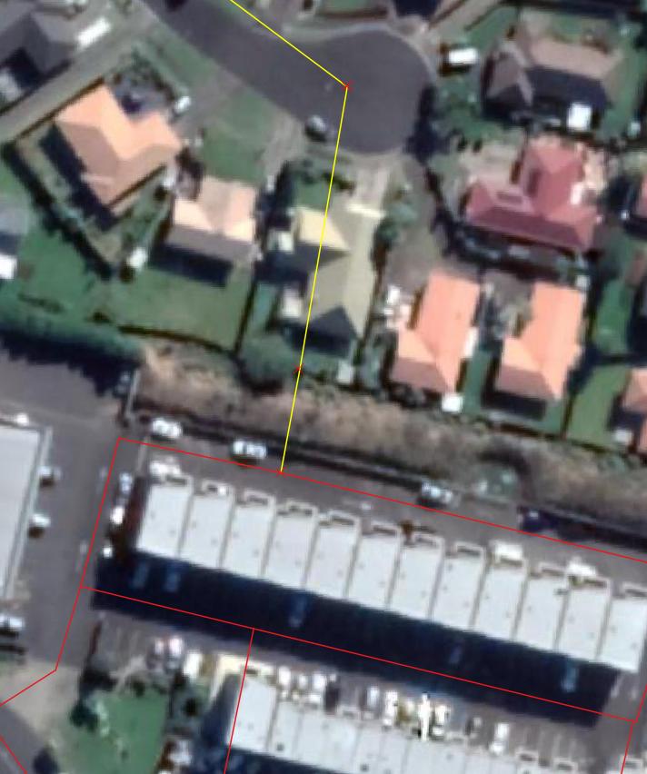
I am editing road network to create scenarios but Shortest Path is not recognizing the edits. I am assuming the edited street network is not connecting with other streets at intersections. I have extended yellow line to meet the red line but Shortest path is not recognizing the connection.

Could anyone please tell me how to solve this issue please?

enter image description here

1
  • Welcome to GIS SE! We're a little different from other sites; this isn't a discussion forum but a Q&A site. Please check out our short tour to learn about our focussed Q&A format. What GIS software are you using?
    – PolyGeo
    Commented Feb 17, 2021 at 6:58

1 Answer 1

1

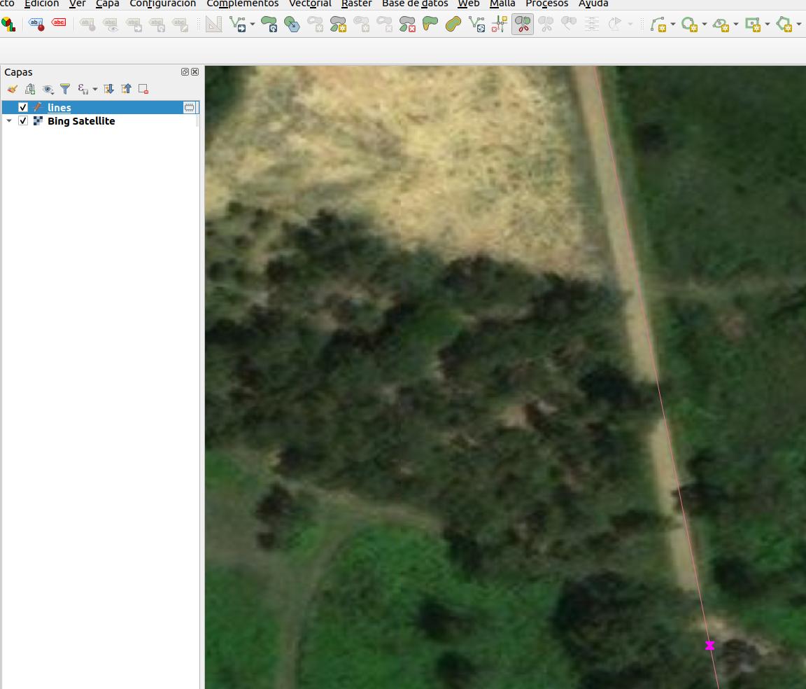
In order to use those lines as connected you have to make a node in the line where you have trying to connect the new one. So.

  1. Add a node (cut the line).
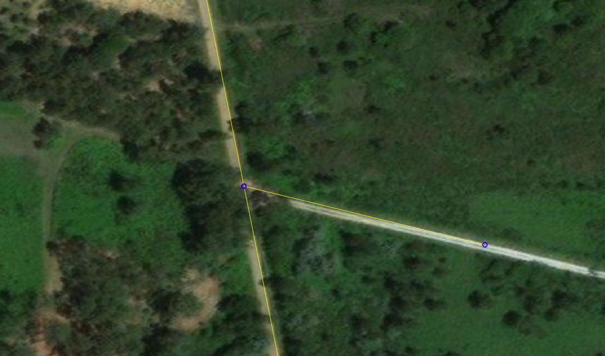
  2. Use snap tool (the magnet icon) con start editing from that node.

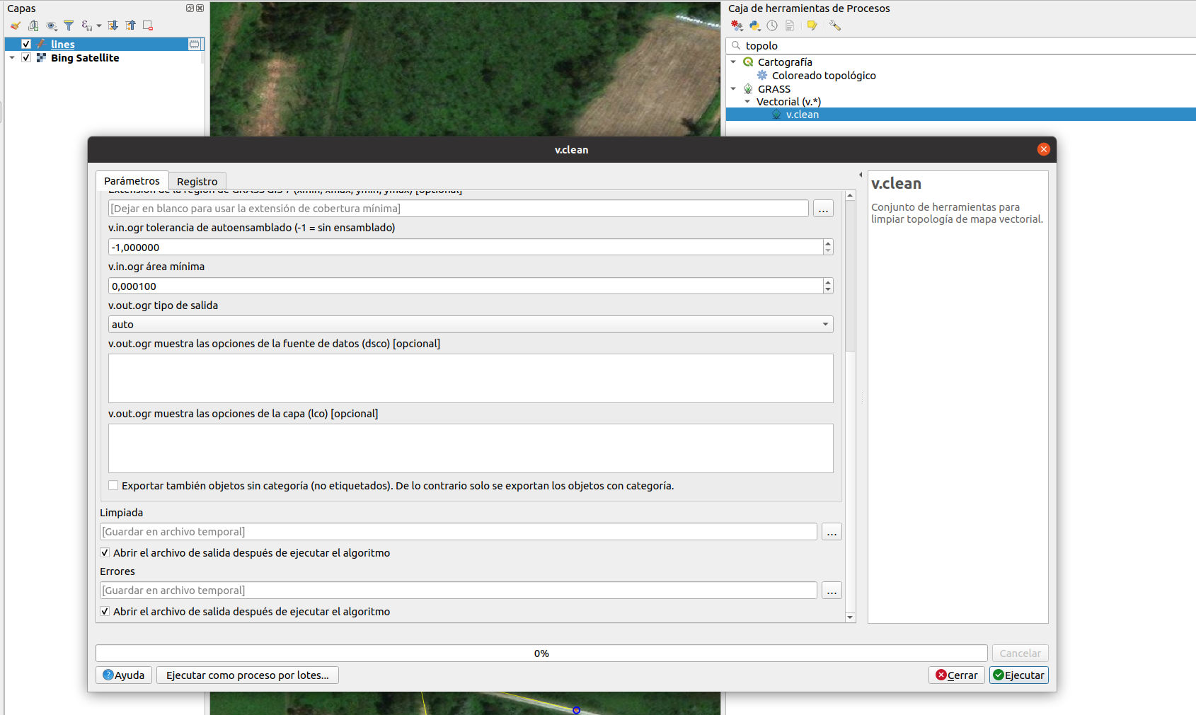
In case that Shortest Path still doesn't work, try to pass v.clean (grass tools) to correct other ussues lines could have.

enter image description here

enter image description here

enter image description here

Your Answer

By clicking “Post Your Answer”, you agree to our terms of service and acknowledge you have read our privacy policy.

Not the answer you're looking for? Browse other questions tagged or ask your own question.