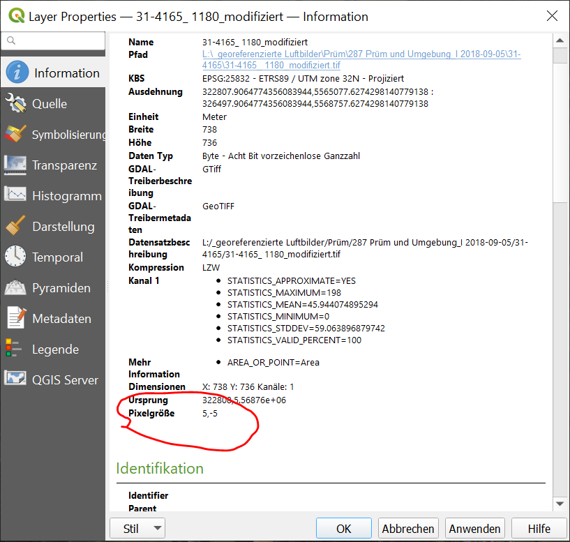
I have scanned aerial images taken shortly after WWII and have to georeference them and calculate the mean error. I use the Projective transformation so the error after transformation is shown in pixels. I want to know how big is the error in meters. When I go to the properties of the transformed image there is field showing the size of the pixels (see picture). I want to know how reliable this value is and if for example my error is 20 pixels, can I just multiply the error by the given pixel size? 
Add a comment
|
