I downloaded a GeoJSON file from vangdata.carto.com and I'm trying to convert it to CSV that has geometry data in tact. I'm trying to achieve the same result as a CSV file when exported from public.opendatasoft.com which is following:
This is the Geo_Shape column
"{""type"": ""MultiPolygon"", ""coordinates"": [[[[3.20543629, 42.07333392606152], [3.206103403, 42.07336071406152], [3.20583872...
Which then is very easy to digest by BigQuery. Unfortunately, online converters seem to only export the textual data from GeoJSON, leaving the geometry out completely.
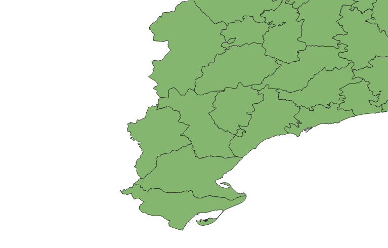
In QGIS, when I load GeoJSON file, the map shows correctly:

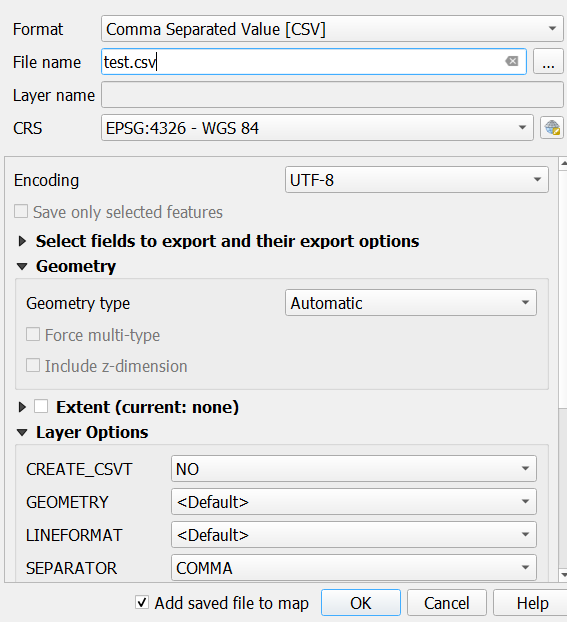
Then right click -> Export -> Save Feature As
The settings are standard, I leave Geometry section as Automatic but unfortunately the exported CSV does not contain the geometry column at all
I stumbled upon this topic that gave me the idea of using QGIS to convert those files rather than online converters: Windows software to convert GeoJSON (> 6Mb) to Excel/CSV?
How can I convert the GeoJSON (or TopoJSON or even Shapefile - I can get any from vangdata.carto.com) to a CSV with geometry column like above?


