Can QGIS open the file types .pitemx or .pkinfo?
The answer is no. QGIS cannot directly open these file types.
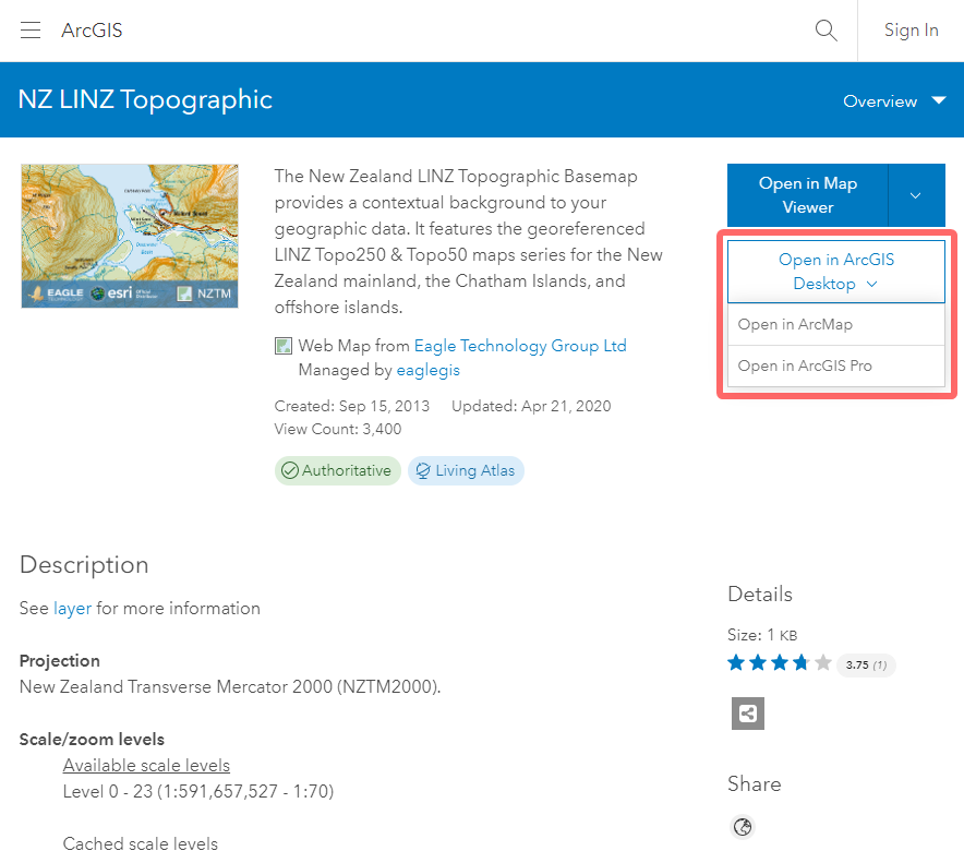
A pkinfo file is an xml reference to an ArcGIS Online map id, which enables ArcGIS Online or ArcGIS Desktop products to open the map.
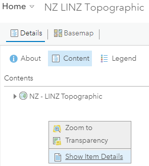
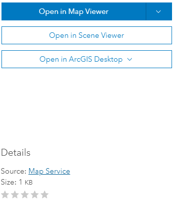
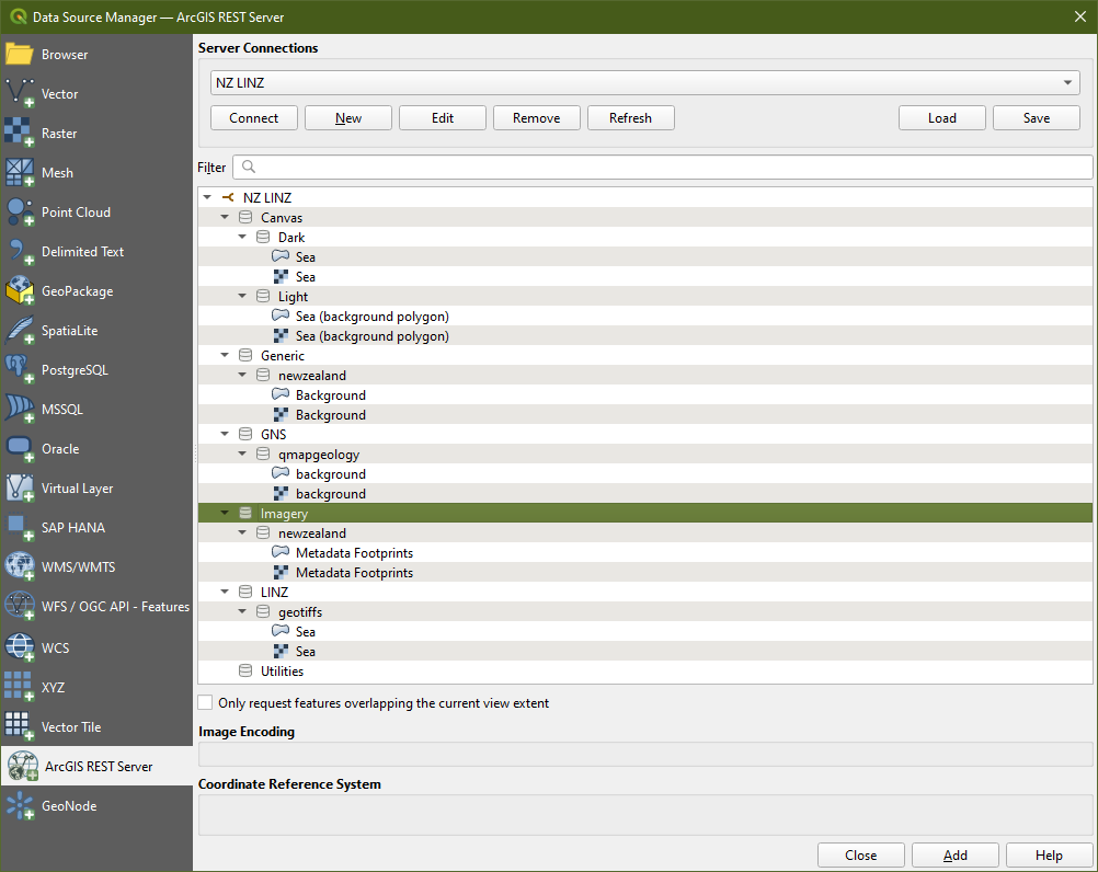
Saijin_Naib has shown how QGIS can open the individual map layers via the services that have been configured for the map and this is very good information.
This solution will create a connection to the data and display the style/filters that are applied at the service level, however it might not - in all cases - display the data in the same way it is configured in ArcGIS Online.
This is because an AGOL Map may contain different map services (WMS/WFS, ESRI Map Services and ESRI Feature Services, Tile Services) but more importantly, these services can have map style, visibility and filters applied on the client side (That is - these styles and filters are not saved at the service level, they are applied by the AGOL Map.)
In these instances, your service connection from within QGIS will display data associated with the service, BUT may not necessarily have the same display/style/attribute info as what an AGOL Map has configured.
This will vary upon how the map has been created and the services used. In some cases, using the services will be fine and give you the exact same. In other cases you may need to rebuild the filters/styles from within QGIS.


