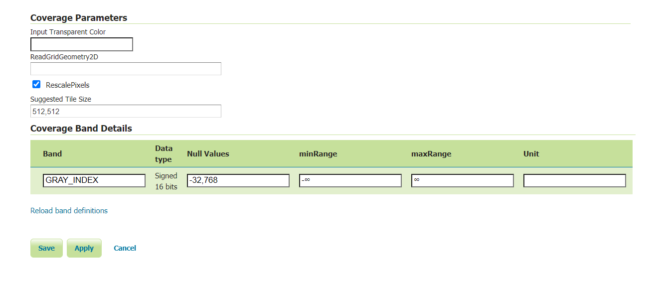
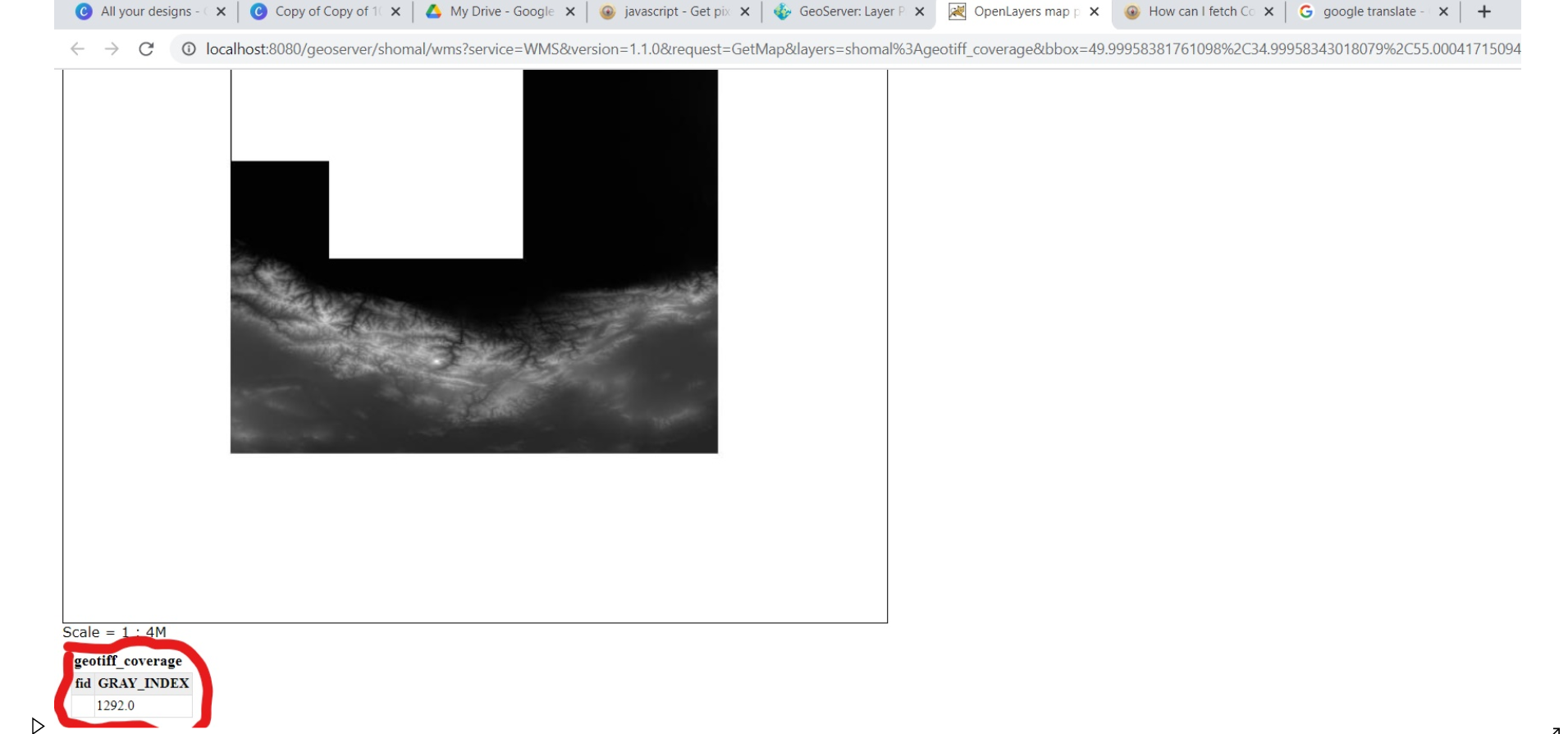
I want to display the gray index value in the image above in GeoServer on my map when clicked At the bottom of the example there is (layer preview-> openlayers) I want something like this
-
3In what way is this question different then your previous one, except this time even relevant code is missing: Get pixel value of ImageWMS that has geotiff format– TomazicMCommented Mar 2, 2021 at 20:26
-
I search in geoserver and find this section and I want fetch this information to my code and show gray_index of each point when clicked can you help me?– aminCommented Mar 2, 2021 at 20:31
-
for the third time - you need to use a getfeatureinfo request like the preview page does– Ian TurtonCommented Mar 3, 2021 at 8:45
-
Welcome to Geographic Information Systems! Welcome to GIS SE! We're a little different from other sites; this isn't a discussion forum but a Q&A site. Your questions should as much as possible describe not just what you want to do, but precisely what you have tried and where you are stuck trying that. Please check out our short tour for more about how the site works– Ian TurtonCommented Mar 3, 2021 at 8:46
-
Can you give me an example? and Does it work for the ImageWMS as well?– aminCommented Mar 3, 2021 at 9:35
Add a comment
|


