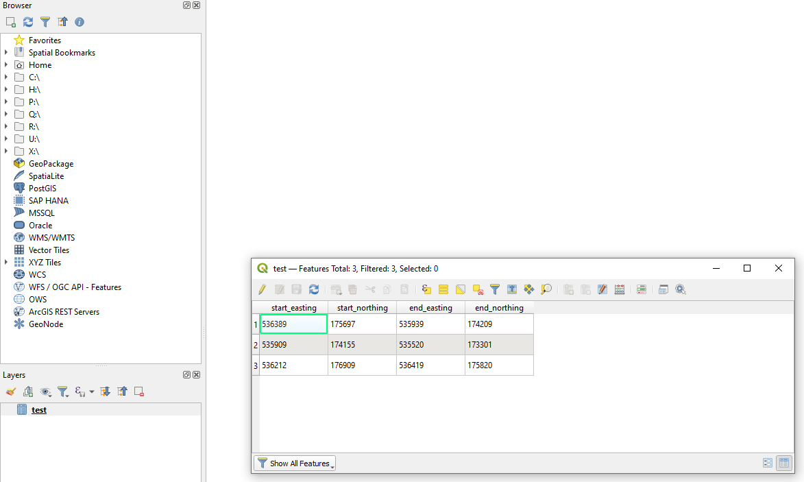
I'm a QGIS user with 2 years of experience but I don't know how to do this task easily. I'm on QGIS 3.10.6 A Coruna.
I know how to import CSV coordinate points and then convert them to a vector using "Points to Path" but I don't want to make one long vector from all of the points, I would like to create multiple separate vectors from each coordinate pair.
I could import each pair as a separate CSV list of two points, join them ("Points to Path"), and then merge each resulting vector file but I'm hoping for an easier way as I will have many pairs to import and merge into one layer.
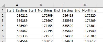
My data looks like the snapshot below (coordinate system: EPSG:27700 - OSGB 1936 / British National Grid). I can also easily reformat the CSV if needed.
Is there a more efficient way to do this?
The Linestring / WKT geometry is the most solution in my case due to the application of the dataset:
Each point marks the start and end of sections of interest on a train line. After visualization, I can take a subset of points separated by larger distances to add a 3rd point in the Linestring expression to better match the curve of the track and then re-import the CSV. I also found a similar explanation to the problem at: https://www.reddit.com/r/QGIS/comments/98t8r3/generating_lines_from_csv_containing_xy_coords/


