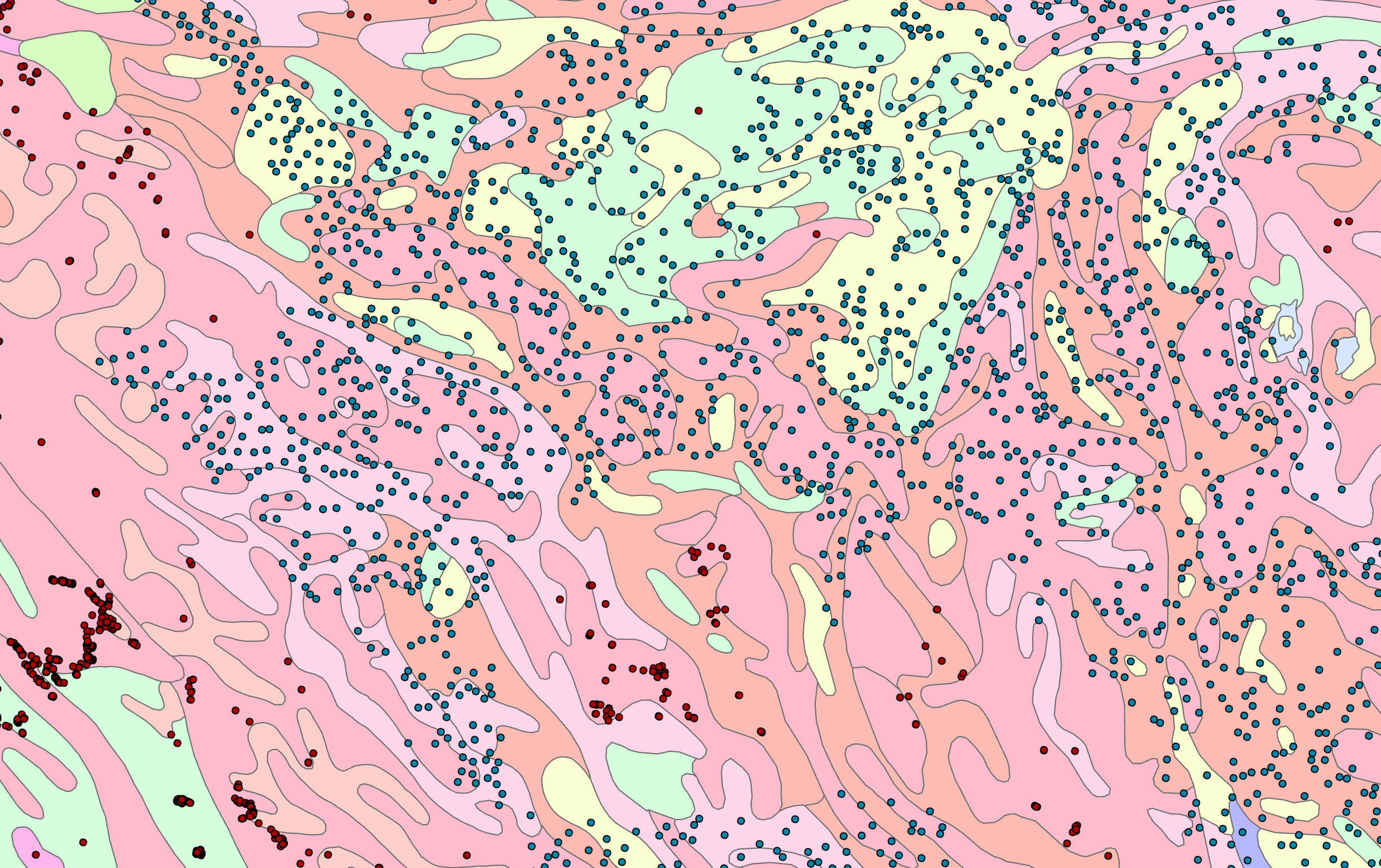
I have a map with a vector feature dataset of soil types, and a feature dataset of points.
I want to transform the soil dataset to raster, but I only need the results around the points (a buffer with specific distance around all these points) and my area of calculation is huge so processing the whole area takes a lot of time. The normal process that I will have to go through is shown below (left to right). My desired output is the clipped rasterized data on the right side.
Is there any way that instead of using "polygon to raster" for the whole area and then clipping the raster using a buffer around the points, I create the buffer first and then limit the calculations inside the buffer? Calculating the whole area needs a lot of time and creates rasters as huge as 10 GB and I have to do this for many layers.


