Whenever I get tired of reprojection/CRS issues in QGIS I always move to R. Here is a sample script I used for area calculations:
rm(list = ls()) #clears environment
cat("\014") #clears console

library(sf)
library(ggplot2)
library(tmap)
library(tmaptools)
library(rgeos)
library(dplyr)
library(tidyverse)

setwd("~/Desktop/Carolyn Shapefiles") #change your filepath

##ETHIOPIA
Ethiopia <-st_read("geo2_et1994_2007.shp") #Import Ethiopia shapefile,
projectd in WGS 84

Ethiopia_UTM<-st_transform(Ethiopia, 20138) #Adinan / UTM Zone 38N
st_crs(Ethiopia_UTM) #confirm proper tranformation

Ethiopia_area_values <- st_area(Ethiopia_UTM)
Ethiopia_area_values

Ethiopia_UTM$sq_meters <- Ethiopia_area_values

##Once the dataframe is to your liking, export it with whatever name you
want using the line below.
#st_write(Ethiopia_UTM, "Ethiopia_UTM.shp")

##UGANDA
Uganda <- st_read("geo3_ug2014.shp") #Import Uganda shapefile, projected
in WGS 84

Uganda_UTM <- st_transform(Uganda, 21095) #Arc 1960 / UTM zone 35N
st_crs(Uganda_UTM) #confirm proper tranformation

Uganda_area_values <- st_area(Uganda_UTM)
Uganda_area_values

Uganda_UTM$sq_meters <- Uganda_area_values

##Once the dataframe is to your liking, export it with whatever name you
want using the line below.
#st_write(Uganda_UTM, "Uganda_UTM.shp")

##df1[c(1, 6, 2:5)] #sample of how to re-order the columns if you need`
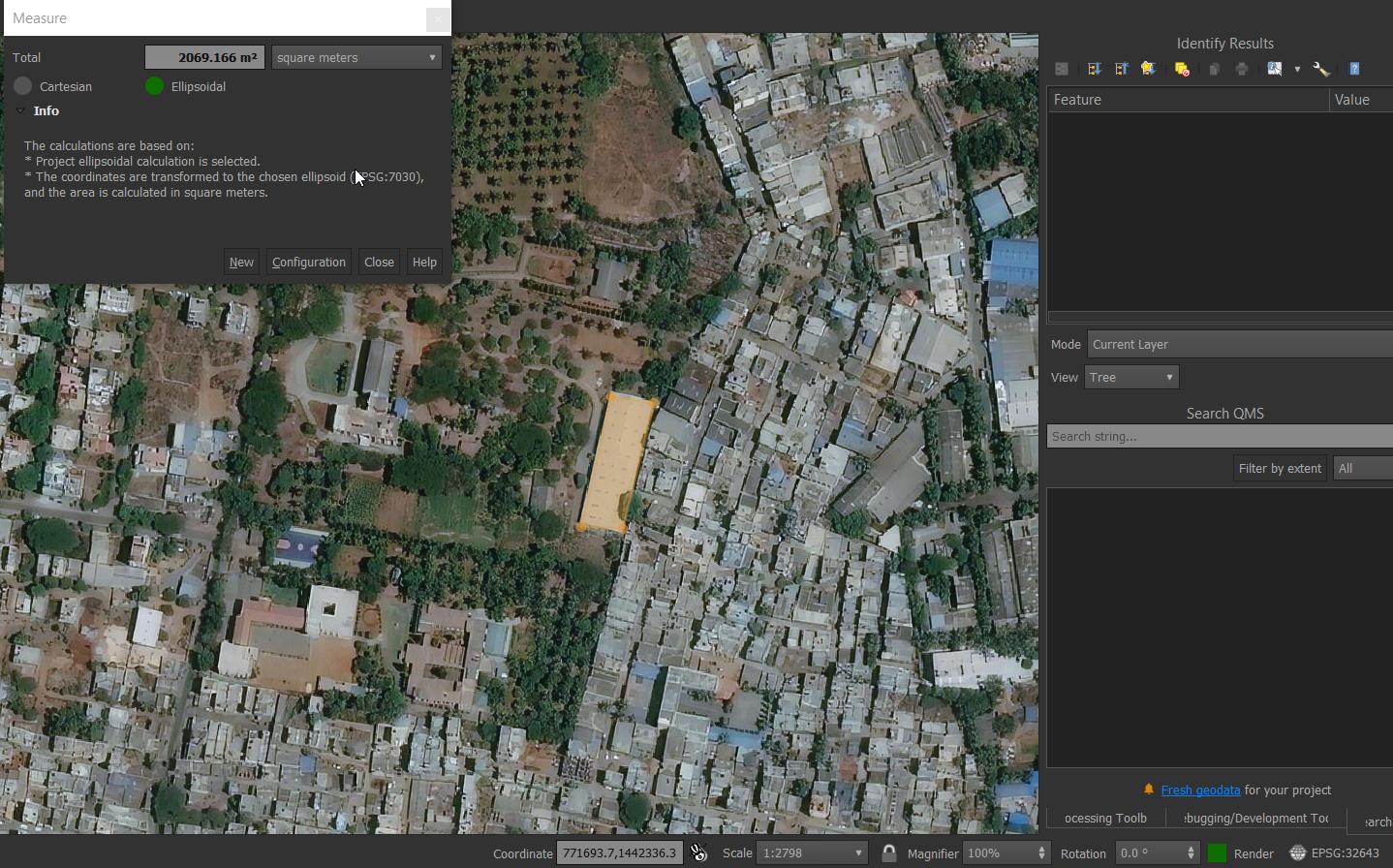
 Calculating Area on Bing Map using Measuring tool
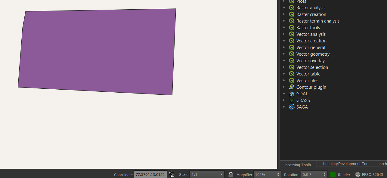
 The coordinates are not in (X,Y) format
 How to resolve this issue and get the coordinates in correct format?
layer CRS->set to EPSG:32643change only the units and keeps the extent in its original projection?