1

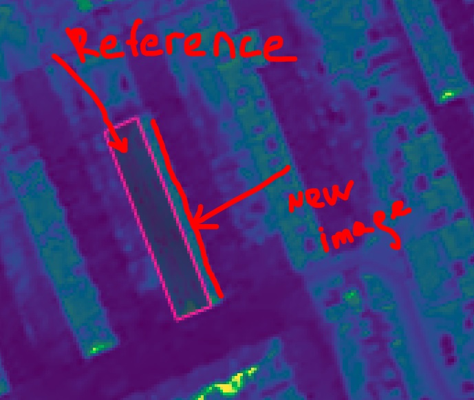
I have a problem my set of four satellite images (4 different years of observations) of the same area are not aligned and more than that I see that there is a distortion problem also.

I found this problem when I stacked and matched these images to each other with the reference of the same building. (I did it in Photoshop - please don't bully me for this :-) I'm a newbie. ) However, when I checked other buildings - there were no matching. Then I realised that there is also a distortion problem enter image description here
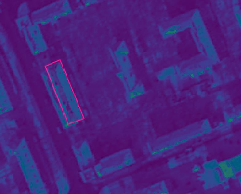
that happened to my set of images. Therefore I can't align them straightaway. enter image description here
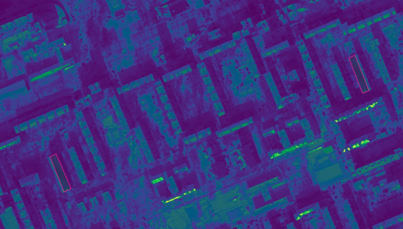
enter image description here On the example - a reference buildings are copied as a layer over other image and as you can see they are not matching.

How can I solve this problem?

6
  • Please clarify your specific problem or provide additional details to highlight exactly what you need. As it's currently written, it's hard to tell exactly what you're asking.
    – Community Bot
    Commented Sep 12, 2021 at 9:27
  • Hello. 1. I have set of images of the same city for over 5 years. Images were taken with a 1-year difference. When I tried to match them in Photoshop and QGIs I couldn't do it. If I will try to match two images with reference with the same building at two images, other buildings will not match. Seems like there is a distortion of the image, and the geometric properties of the images are not matching.
    – Madi
    Commented Sep 13, 2021 at 11:26
  • Hello. @MrXsquared. I Used Photoshop and QGis. both of them didn't work well. Please see my comment above.
    – Madi
    Commented Sep 13, 2021 at 11:26
  • For the objects that are not aligned, are they just buildings, or are there objects at ground level that are not aligned as well? If it is only tall objects like buildings, this might just be due to the images being taken from different angles (and orthorectification then being done with something coarse like SRTM). In that case, there might not be any offset. Using the corners of buildings is tempting, but dangerous unless your orthorectification was done with a very detailed DEM. What satellite source are you using here?
    – fnands
    Commented May 31, 2023 at 7:33
  • Please don't comment on your own Question. Instead, Edit the Question to contain the requested clarifications.
    – Vince
    Commented May 31, 2023 at 11:59

1 Answer 1

0

There is a coregistration subpackage in eolearn, which is intended for this sort of problem. I have not used it, but I think it could at least be a good reference for you.

Your Answer

By clicking “Post Your Answer”, you agree to our terms of service and acknowledge you have read our privacy policy.

Not the answer you're looking for? Browse other questions tagged or ask your own question.