I have a satellite image and I want to normalize the value between 0-255. I am using QGIS. I used this formula (NewRaster = ( OldRaster - -1 ) * 255 / ( 1 - -1 ) + 0 ) but it does not give me the proper result
2 Answers
To do this normalization, we can use GDAL in QGIS. Follow this procedure
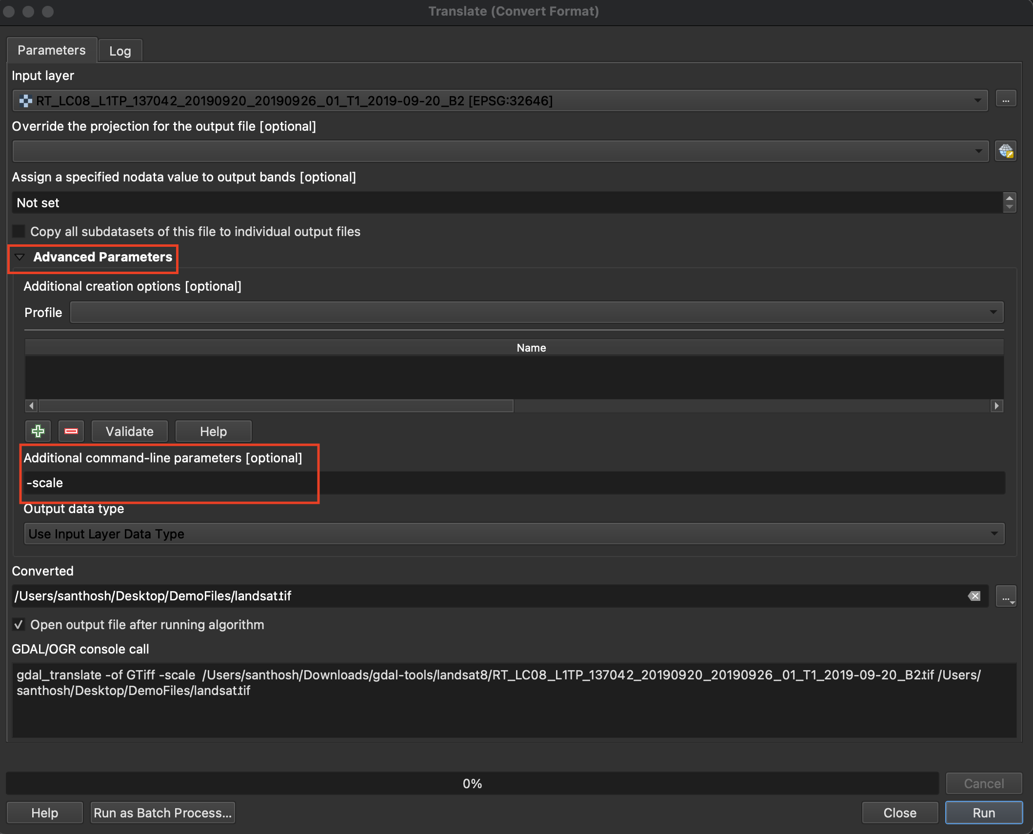
Processing -> Toolbox -> Processing Toolbox -> Translate (under GDAL)
Choose Input layer as your raster file, and open Additional Parameters
In Additional command-line parameters enter -scale
Now enter the output path and file name on converted and click Run
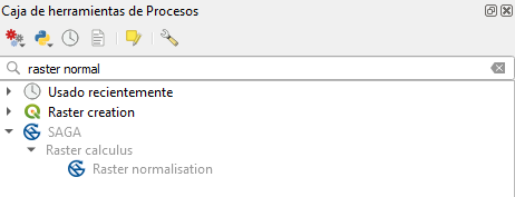
QGIS have a SAGA tool called "Raster normalization" or "Raster normalisation" (depends the version) you can use it.
Be careful if you have a new version of QGIS, there is a fail in the tool description file. It's easy to solve, when you know it, https://gis.stackexchange.com/a/424242/200979 .


