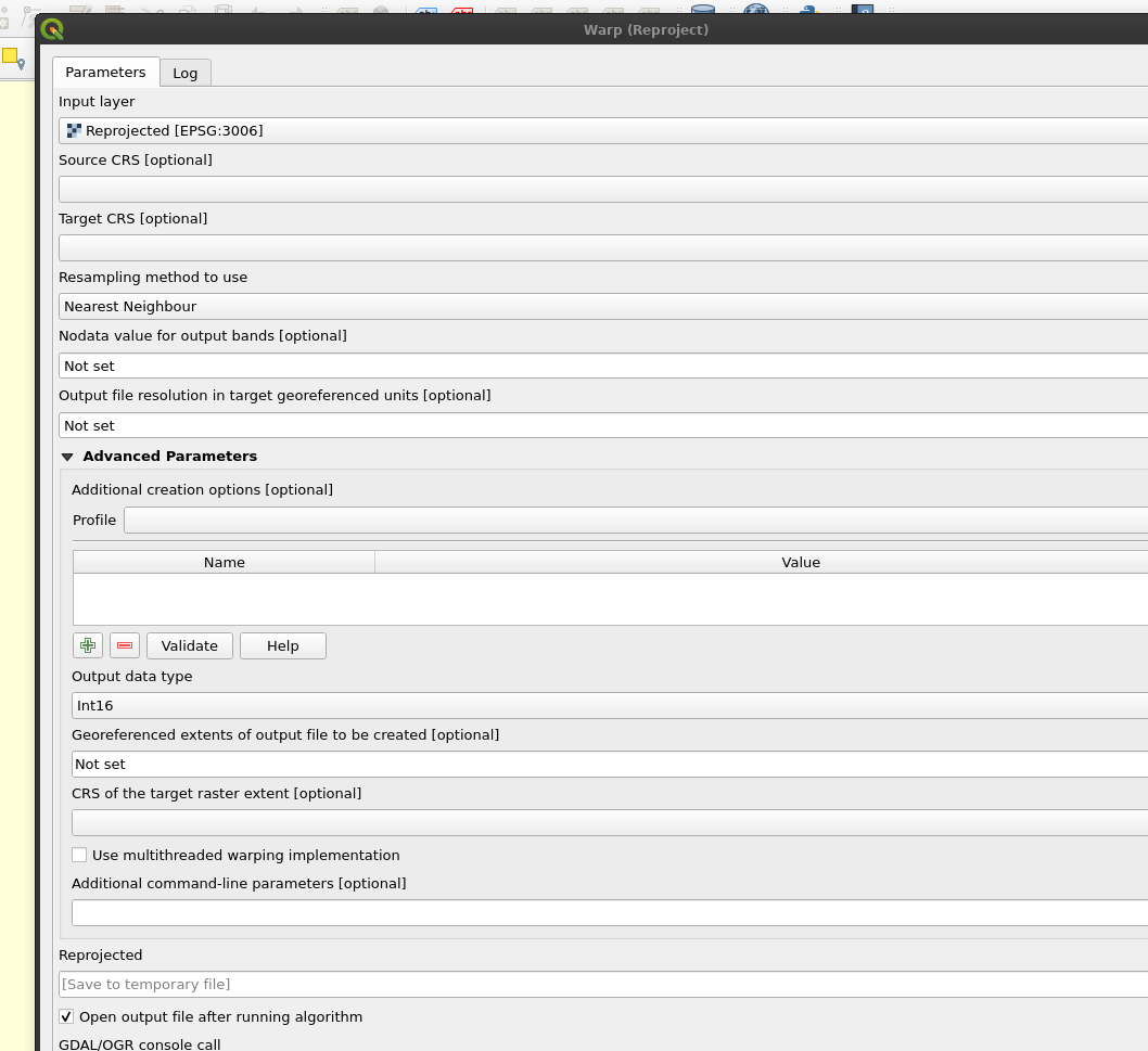
I have a TIFF file of first day beyond 10 degrees at 2 m height covering the northern part of North America from 2012 to 2020. Each year is stored in a different band. Currently, the data type is Float32 for all bands, and I would like to change it to Int16or something similar.
I know how to do it for a single band raster, but how can I do it for a multiband raster?
Here is the file information:
CRS EPSG:   4326 - WGS 84 - Geographic
Extent:     -172.5304334680000125,35.3037906650000011 : -52.5694104270000224,83.1300963930000023
Unit:       degrees
Width:      26708
Height:     10648
Data type:  Float32 - Thirty two bit floating point
GDAL Driver Description:    GTiff
GDAL Driver Metadata:       GeoTIFF

