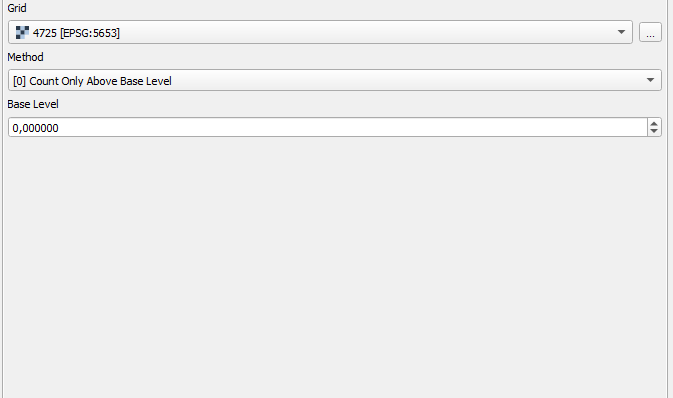
I calculated a flood analysis in GRASS GIS and imported a layer into QGIS for creating a map. To check if I chose the correct layer for the export I want to double check the volume of the raster in QGIS and compare it to the shell output of GRASS. So I enter the flooded area as a .tif, select Saga Raster volume tool and try to calculate the volume. The calculation runs without errors but the result in the protocol is empty. I tried running both zero and the start height of the flood analysis as the base level. QGIS version is 3.4.3-Madeira. Am I missing something?
1 Answer
The files are stored on a external drive and the path was quite long and some of the directory names contained blank spaces. After moving the .tif to another location the calculation did run properly.


