I have some address points that I have reprojected to coordinate system EPSG 6626. Then, I added x and y coordinate attribute values using the "Add X/Y fields to layer" processing tool and have a table that looks like the table below. You can see the X values are in the 1510000's and y values are in the 7411000's.
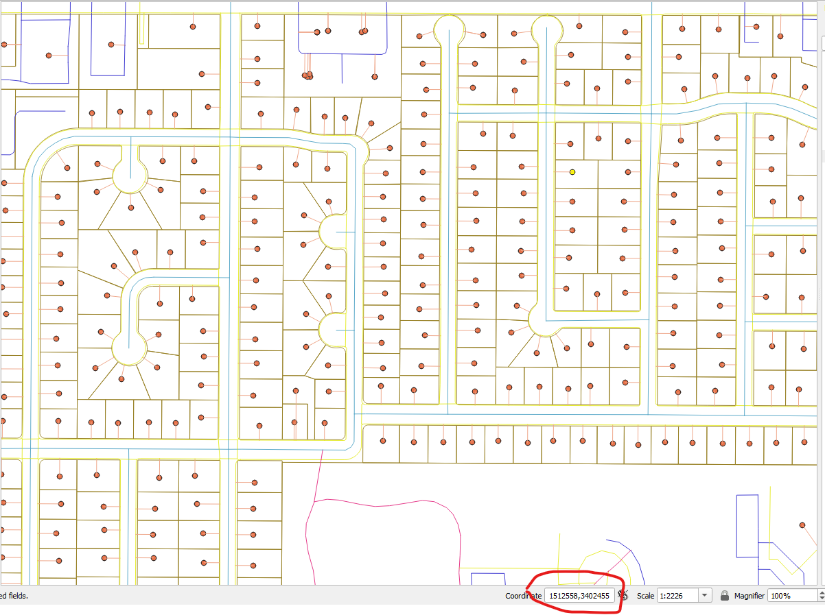
When I look at the x and y locations of these address points in the map, they are showing accurate X values (1512558 for example) but the Y values are way off. The map screenshot below shows an X/Y coordinate of (1512558, 3402455) near the highlighted address point. I have set the project's coordinate projection to match the projection I used for the address layer - EPSG 6626.
Why are the Y values so far off in the map? Should the region not show the same range of values that were computed by the X/Y fields to layer plugin?
As an aside, I am trying to do network analysis and tie these address points to a network. It seems unable to locate these points along the tree perhaps due to their X, Y coordinates being off?
UPDATE
Here are the address coordinates in the original EPSG: 4326 projection. When I revert back to this original projection, and change the project coordinate projection back to EPSG: 4326, it is no longer an issue. I do need to have the units in US Feet so I will need to use a projection.


