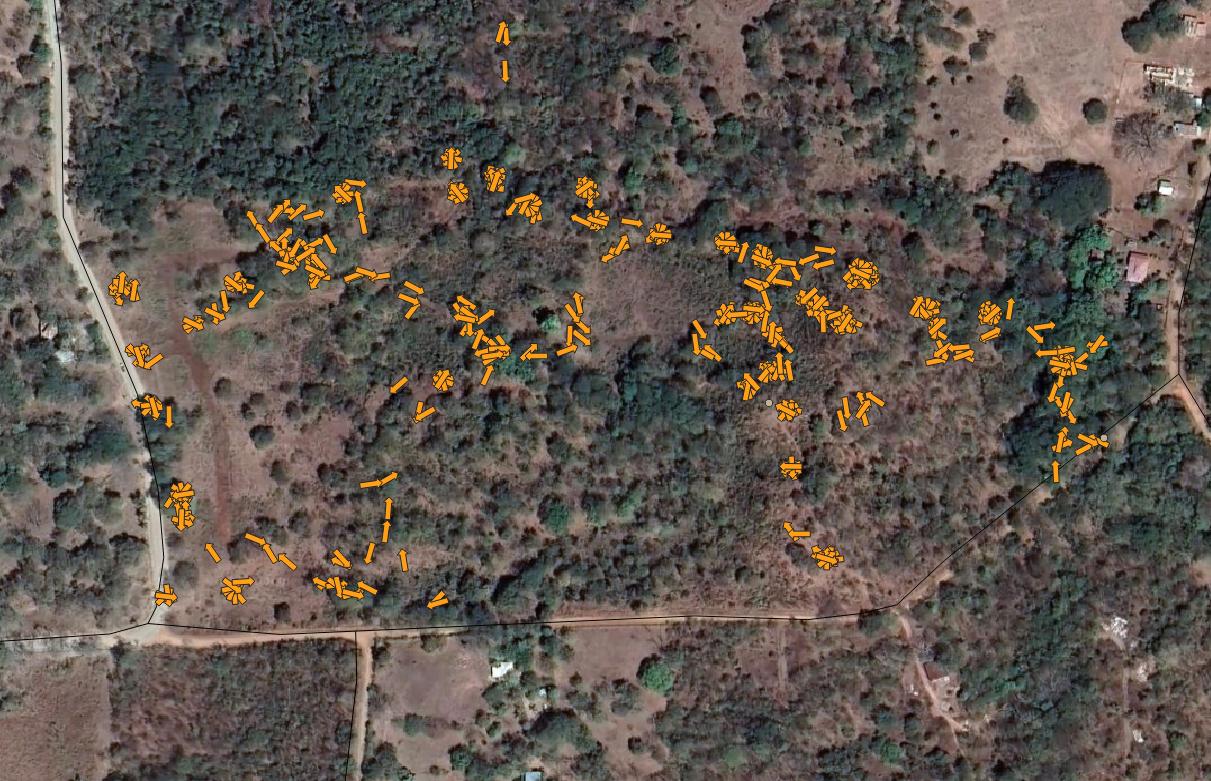
I would like to create a web map with several hundred geotagged photos showing the location of the photos and the direction they were taken in. Using the "Import Geotagged Photos" tool in QGIS I've been able to bring my photos in and set the direction using layer properties. I've been following this tutorial: https://opengislab.com/blog/2020/8/23/mapping-and-viewing-geotagged-photos-in-qgis
Where I'm having trouble is hosting the photos somewhere and creating a direct link. My understanding is that this cannot be done using Dropbox or Google Drive. I could add the photos to a service like Imgur but it would require manually copy-pasting the direct link for each image. Most of the tutorials I've found do not give an explanation for hosting and linking the photos.
Can anyone point me to an explanation of this?

