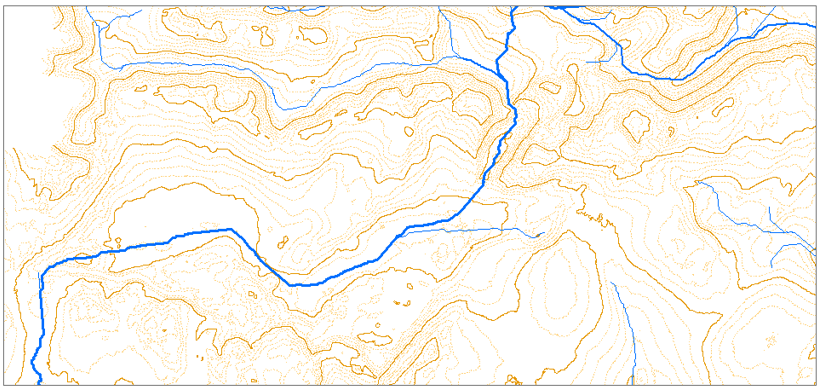
I am working on sub-watersheds delineation of an area. The extracted streams do not match with the real world scenario. I have two issues;
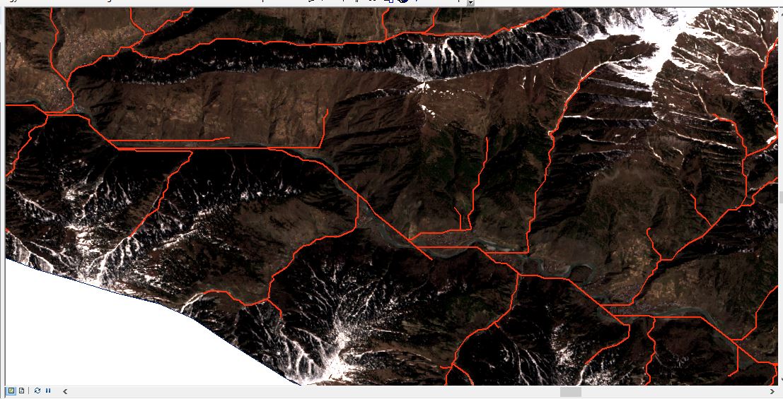
- there are multiple streams lines which do not match with real water channels as their point of joining with river is different from actual joining point /spot
- the river meandering also does not match with the real world
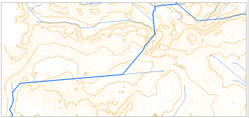
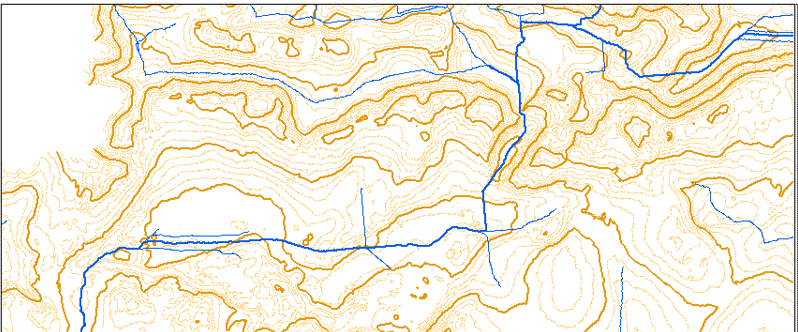
As in the image below, it can be seen the multiple streams and their deviation of streams from actual river flow.
Data Sources: a) SRTM 1 arc DEM b) Sentinel-2 (April, 2022) image.
Method adopted: Standard Hydrology Toolset in ArcMap is used.
I am looking for help to solve these two abovementioned problems.
Data Used https://drive.google.com/drive/folders/1ErBJypaxrtjzspznhQYifjMWNoHXcASp?usp=sharing

