Using QField on an Android Phone, I wanted to import a project created on QGIS 3.24, using QField sync plugin. I did this with earlier versions of QField, but with the newest version 2.1.4, it doesn't work like it used to.
I read these instructions to get the right folder location. I am able to correctly add the project and open it in QField: the point layer I want to visualize shows correctly.
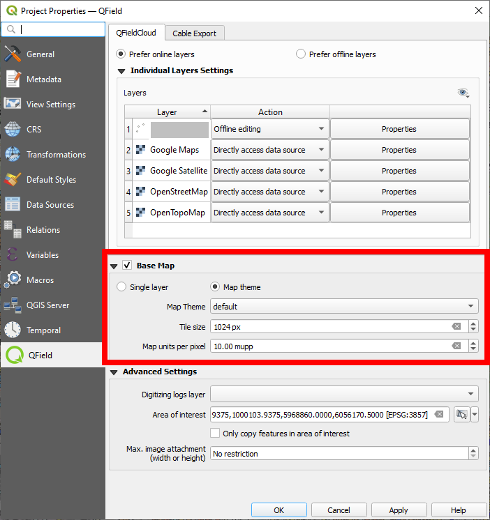
However, the OpenStreetMap basemap, added as XYZ-tile in QGIS, seems to be saved in a fixed resolution. So zooming in and out, the basemap does not change at all.
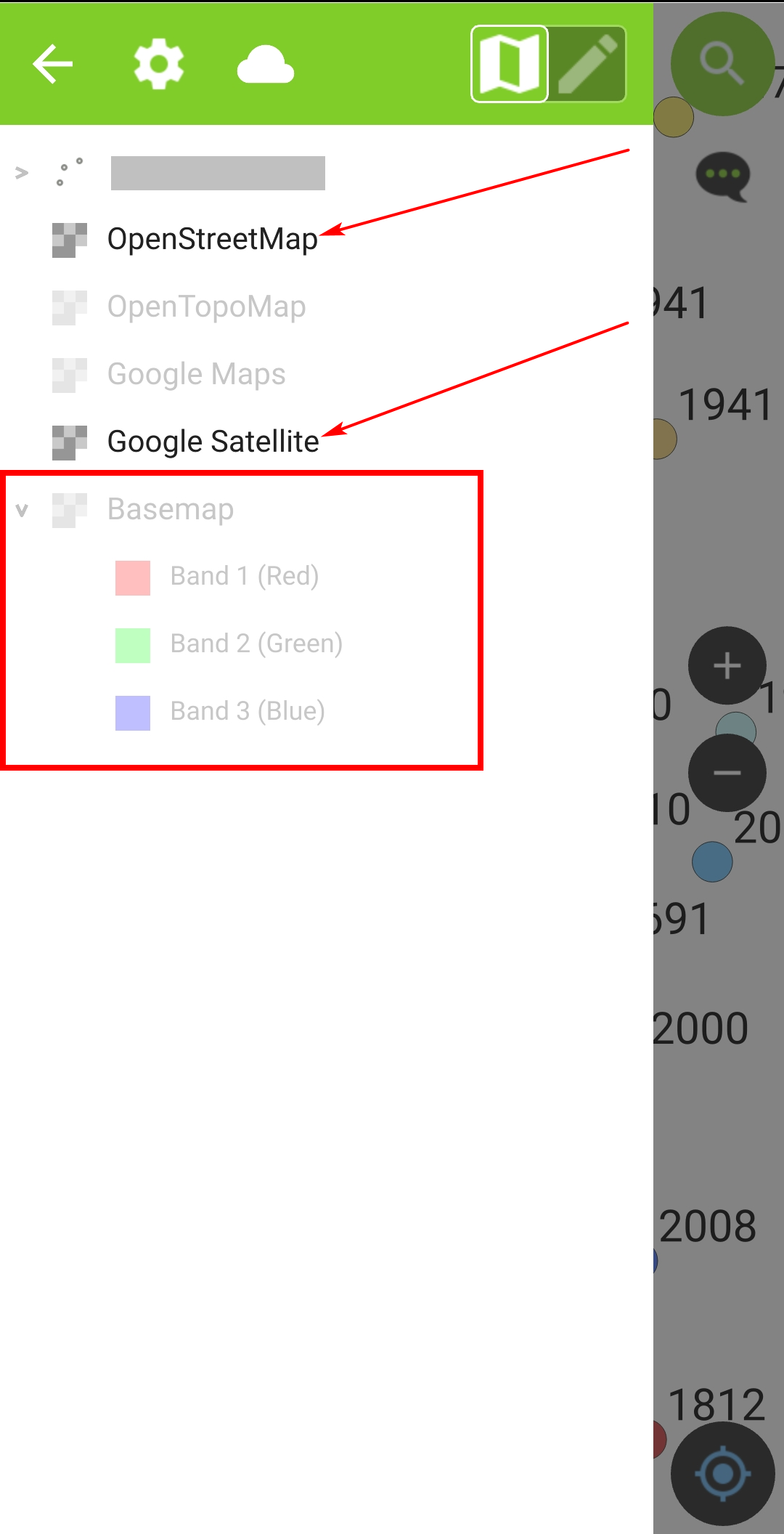
I am confused as in earlier versions, I could easily use several XYZ tiles (OSM, Google maps etc.) in the same project. Now, Qfield sync plugin seems to expect a basemap that is saved as a raster in GPKG format. When I deactivate the basemap, I get just a white background, even if I activate on of the other layers based on XYZ-tiles (second screenshot below).
I, however, want to have a dynamic basemap, accessed online, that changes resolution as it was possible in earlier versions.
How to achieve that?
EDIT:
I realised that the problem is connected to a problem with CRS (see here for more details). The saved geopackage static raster basemap does not show in the same position as the dynamic XYZ-tiles basemap - both are way off and at completely different scales of each other.
Settings in Qfield: basemap is deactivated, OSM and Google Satellite layers activated. Still, backgound is empty:


