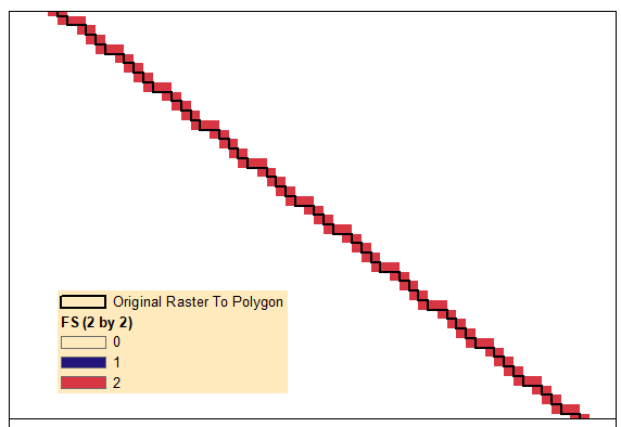
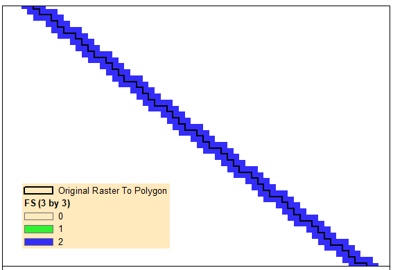
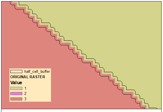
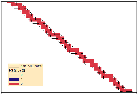
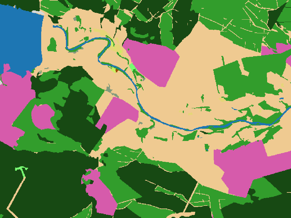
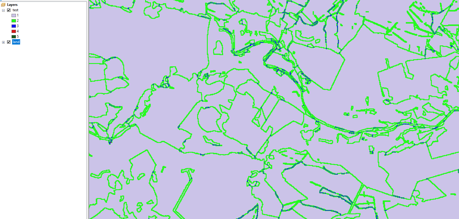
I have a raster with three land cover classes.
For a fishnet grid cell, I want to calculate how many pixels (in %) are "edge pixels" (pixels from different land classes that touch). E.g., if the fishnet grid only contains 1 land cover class, the edge pixels % is 0%. If there two or more classes and many edge/boundary pixels, then the amount of edge pixels is above 0%.
How can I do this in ArcGIS Pro?
When I search online for a tool, it returns Edge detection for deep learning which is overkill.

