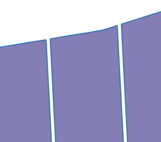
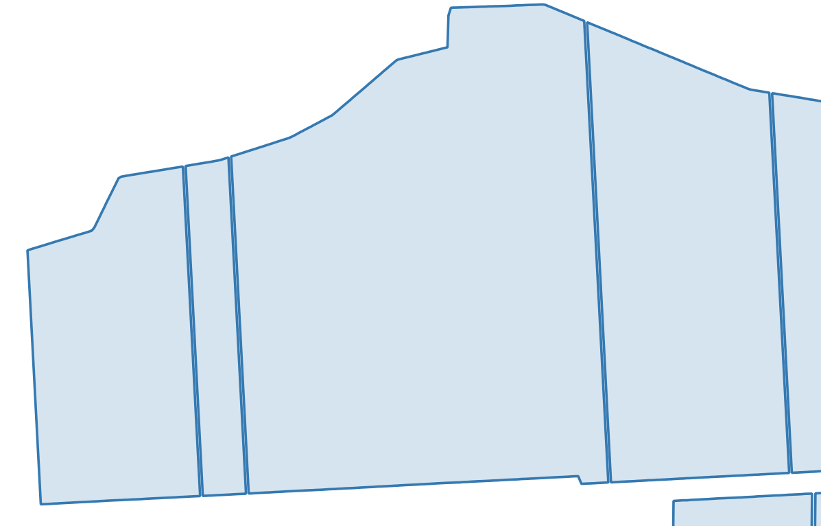
I have a geopackage layer in QGIS which contains block outlines for parcels of land. They have been digitised with a gap between each block but the edges of adjacent polygons should actually share an edge. I'm looking for a way to calculate the midpoints of the gaps so I can drag the edges of the polygons to this point. Searching online I found that ArcGIS appears to have a tool that would help do this - midpoint, but I can't find a similar feature in QGIS. Can anyone suggest a method I could use?
1 Answer
Centroids processing tool.
However this will require a bit of prep. My recommendation is that you convert your polygons into points using the 'Extract Vertices' tool. This will give your the corners of each poly. Then select the two opposing corners and use a Point-Line tool (eg: Points to Path).
Do this for each opposing vertex.
Then you can use the 'Centroids' tool. This will create a new centroid between the two, which represents the midpoint.


extract vertices, thenjoin attributesof the closest vertice within say 10 m, change your point geometries using thefield calculatorby calculating the middle between the point and the one you joined the attributes from, and finally convert yourpoints to linesand thoseto polygons. But this process falls short for three adjacent polygons. Maybe it gives you a direction.