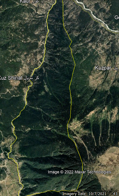
My query is related to area calculation in mountainous areas. There is a simple method in QGIS to find the area of any polygon, like we need to project shapefile in the required projection system and then just write $area in attribute, to calculate the area. But when it comes to mountainous areas this method is not valid, according to my knowledge.
Is there any method or analysis to correctly find the area in such regions that are highly mountainous as well have low profile areas?
Below I am attaching the screenshot of the polygon and calculated the area using the aforementioned method which is 1100 hectares, which is not correct. As it has high ridges and a  steep slope.
