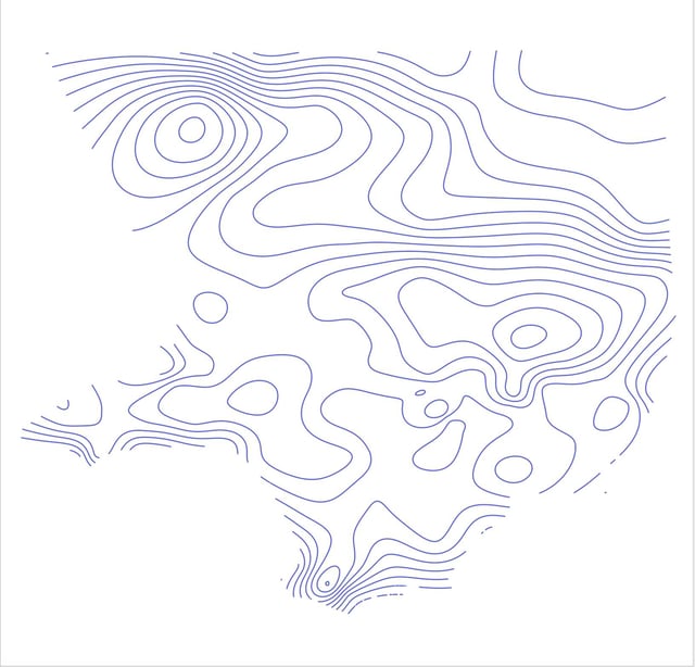
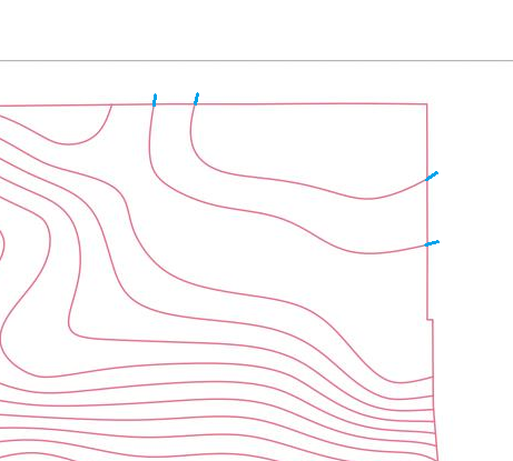
I'm using QGIS 3.26 to create a precipitation map for Los Angeles. I started with Final 85th Percentile, 24-hr Rainfall contours from here: https://dpw.lacounty.gov/wrd/hydrologygis/
I brought the shapefiles into QGIS:
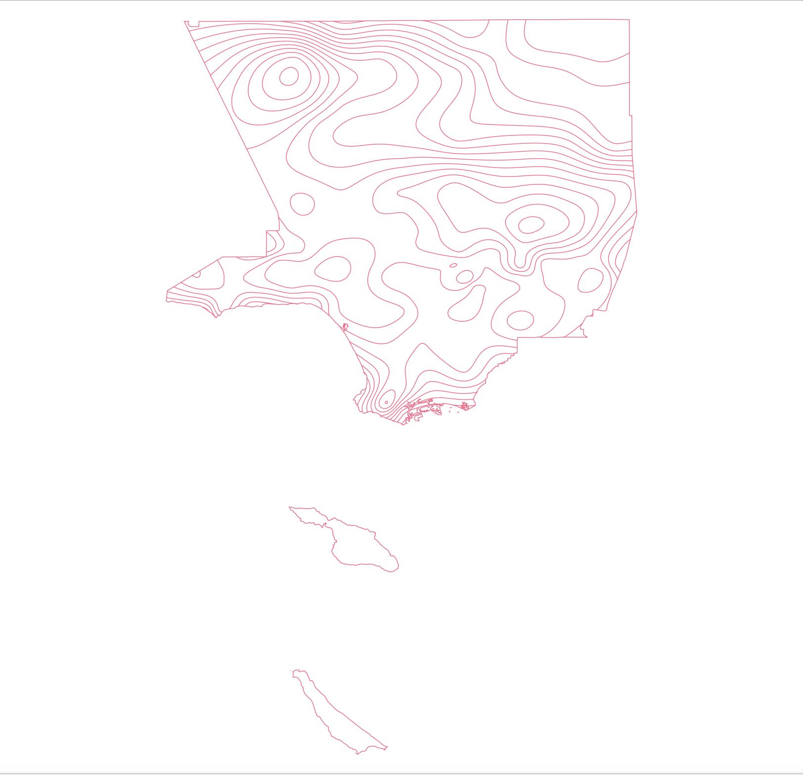
Merged the contours with a county boundary (using the Merge vector layers tool):
I manually snapped the contour edges to the county boundary edges whenever there was a gap or overshoot using editing tools.
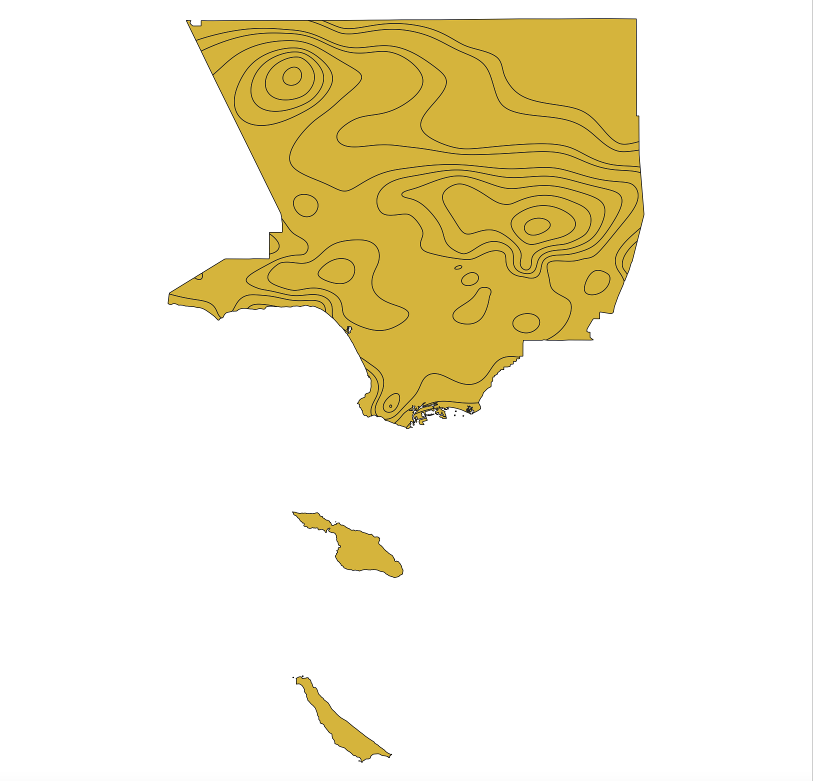
Now I am trying to split the county boundary polygon with these line layers using the Split with lines tool, but I'm not getting complete splitting. As you can see, some lines failed to split the polygon, for example in the upper right corner of the image:
I double-checked the missing contour edges and the contours are successfully snapped to the county boundary with no gaps. What can I do to get complete splitting and thus turn the contour map into polygons? All layers are using EPSG:4326.
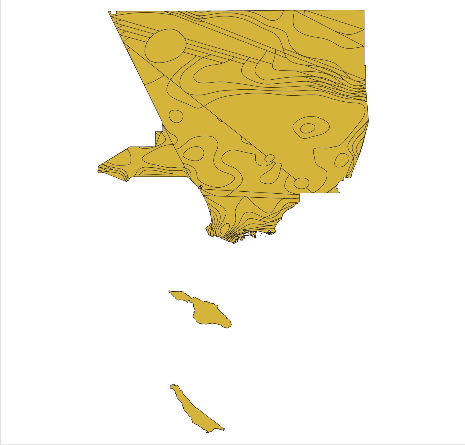
UPDATE At Matt's suggestion, I ran Lines to Polygons on my manually snapped line layer. I got a few of the following errors:
One or more line ignored due to geometry not having a minimum of three vertices.
and the following map:
I also tried Polygonize. It gave me the same results as with the Split with lines tool.

