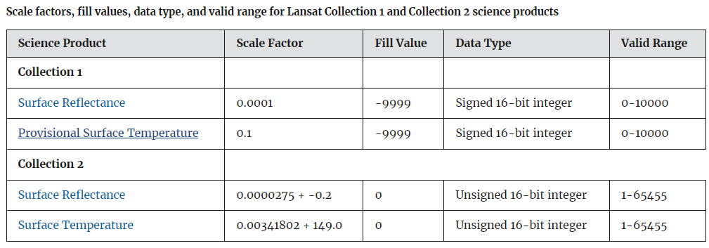
I am trying to calculate NDVI using Landsat 8 Collection 2 Level 2 data. My problem is that, before applying the scale factor and the offset, NDVI range is correct. After applying the scale factor and the offset my range is getting wrong. Why is that? As I understand, Collection 2 Level 2 data are Surface Reflectance Units and not Digital Numbers, so what do we achieve by applying the multiplicative scale factor and the additive offset? Also, when I use the scale factor and the offset on Band 10, I get the right temperature in Kelvin, so why scale and offset works with Band 10 but in other Bands doesn't?
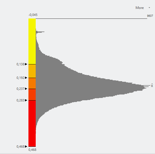
Image 1: NDVI & Histogram before applying 0.0000275 scale factor and -0.2 offset.
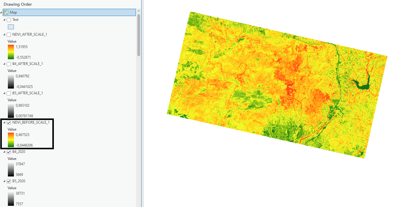
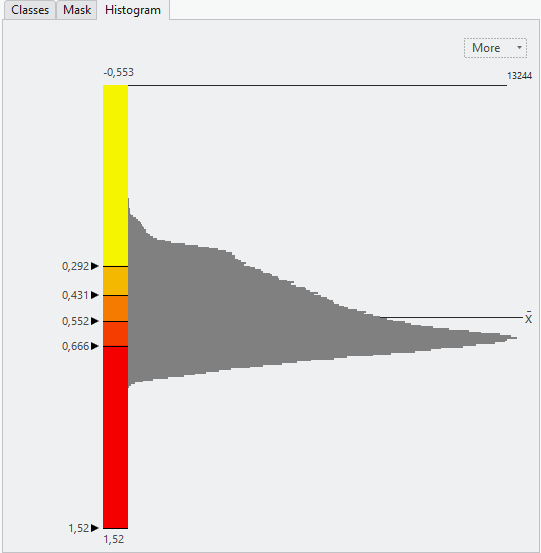
Image 2: NDVI & Histogram after applying 0.0000275 scale factor and -0.2 offset.
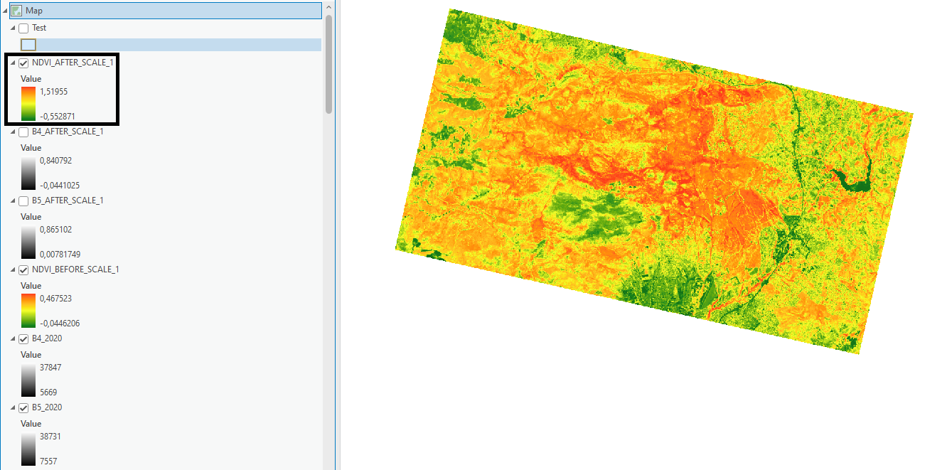
Image 3: Scale factors given by the following link: https://www.usgs.gov/faqs/how-do-i-use-scale-factor-landsat-level-2-science-products
