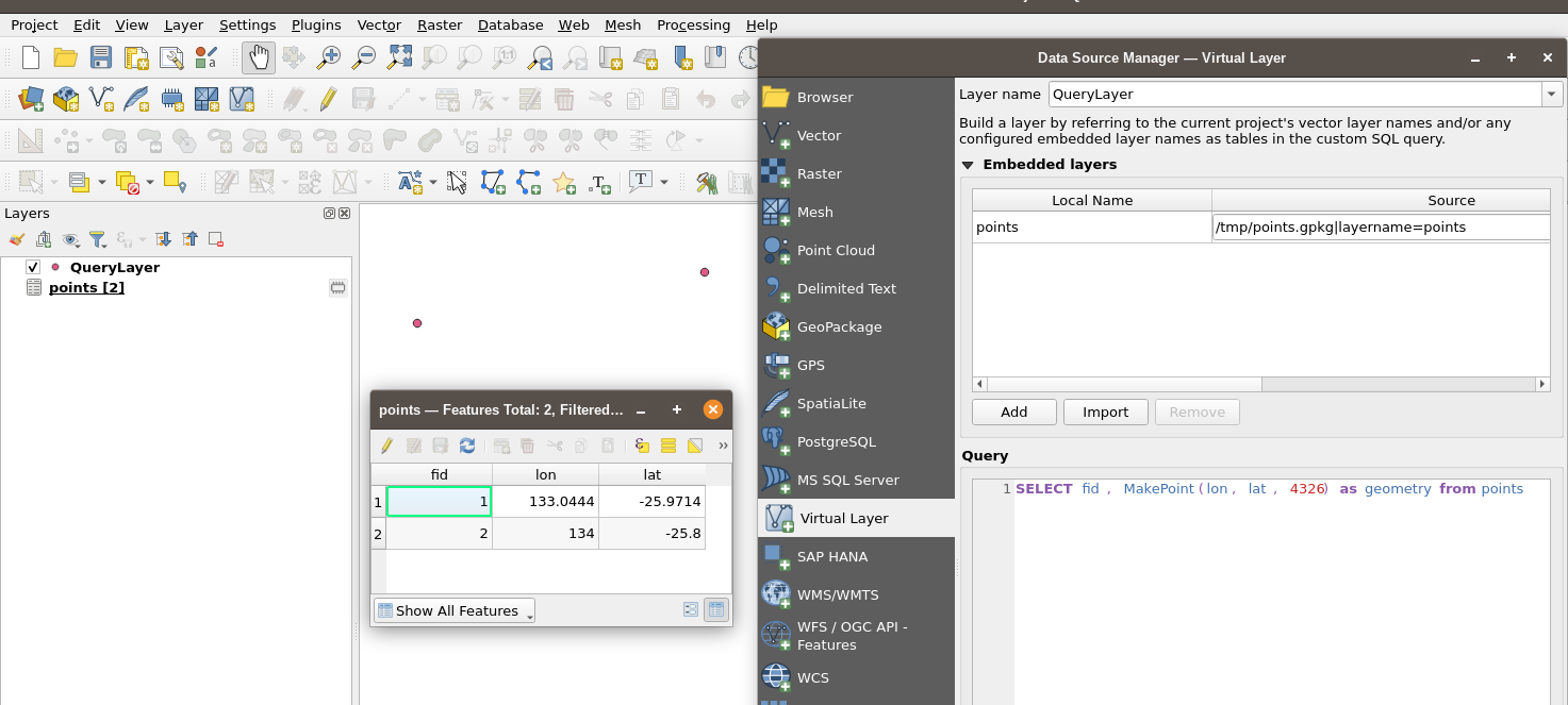
I have a SQLite database that I cannot modify (it is a local copy of a database sync'd from elsewhere).
I would like to view vector (point) data from a table in this database in QGIS. The table contains point data with the location (in EPSG:2193) in columns named 'lat' and 'long'.
If I export the table to a CSV, I can load it in QGIS as a point vector layer and display points based on the lat, long columns.
If I open the .sqlite file as a vector layer in QGIS (selecting the correct table), then QGIS will only open it as a table, not a vector layer.
I see solutions online to update the table to include a WKT_GEOMETRY field, or create virtual table that QGIS can read. But these will be lost each time the local database file is updated from the remote server.
Is there a solution to directly open the SQLite database file as a vector layer using the lat, long columns as QGIS allows for 'delimited text' files?

