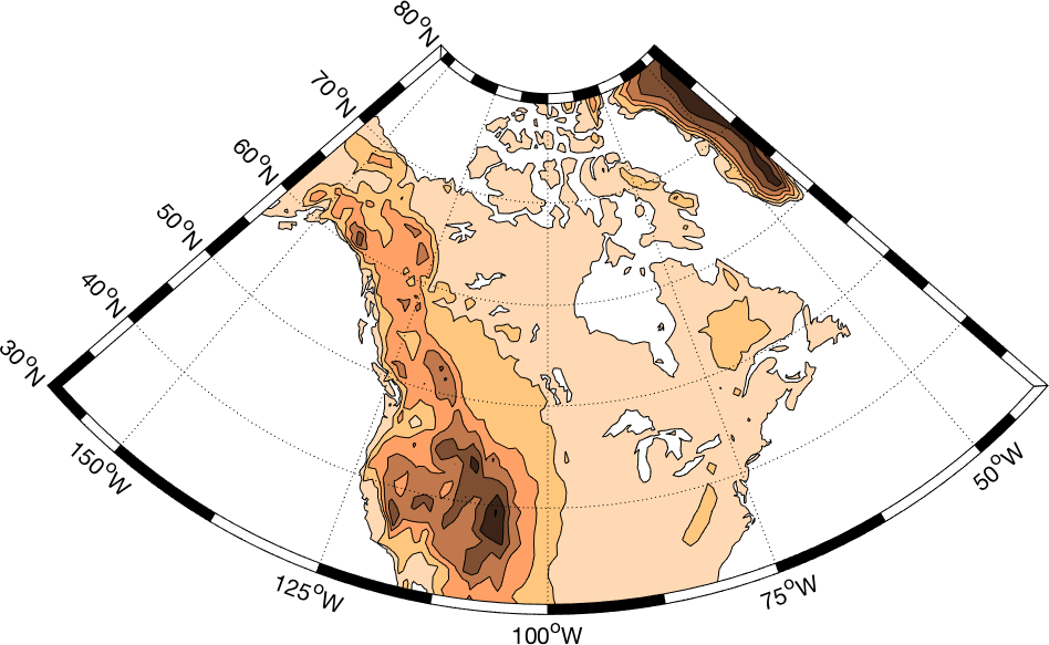
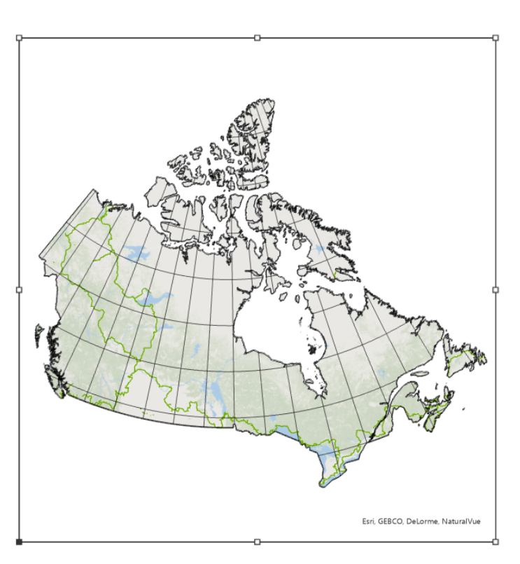
I am trying to create a map with an extent that followings the lines of latitude and longitude in a Canada Lambert Conformal Conic projection, similar to the one below:
However, if I set the clip extent under the map (Map > Clip Layers > Custom Extent), it just creates a square, which under this projection does not follow the specified lines of lat or lon. I am wondering how I can get it to clip while following the specified lines of lat and lon similar to that shown in the attached image?


