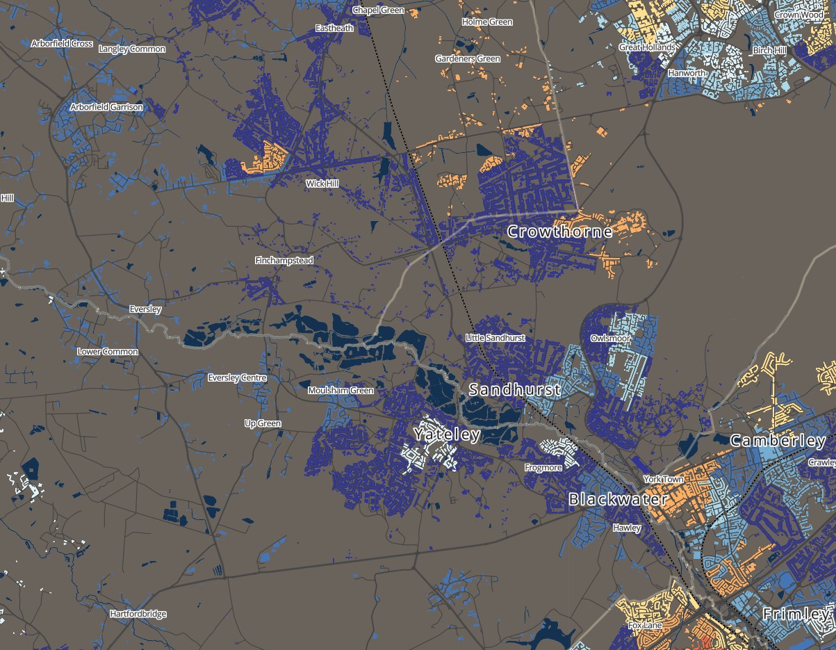
I have created a "detailed" vector layer of buildings from OS's VectorMap District data, styled with deprivation data (much like screenshot 1).
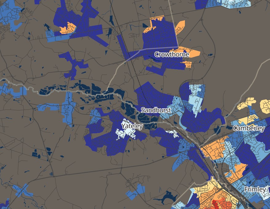
I would like to create a simplified layer from the detailed layer, so the data looks good when zoomed out. Is there a way to create a simpler layer like that shown in screenshot 2?
I have tried some of simplify polygon tools in arcgis pro, but they tend to make a scattered group of non-contiguous triangles. Is there a particular tool in ArcGIS Pro I should use or another tool in QGIS/GDAL?
I have also tried to buffer, dissolve and remove overlap with make centre line, which is ok, but didn't look as good as screenshot. How to you simply the polygons by filling holes within and bridging gaps between them but without massively changing the overall extent they cover / their outer boundaries that much?
I think I need a sort of internal only buffer, but I don't know the correct terms or tools.


