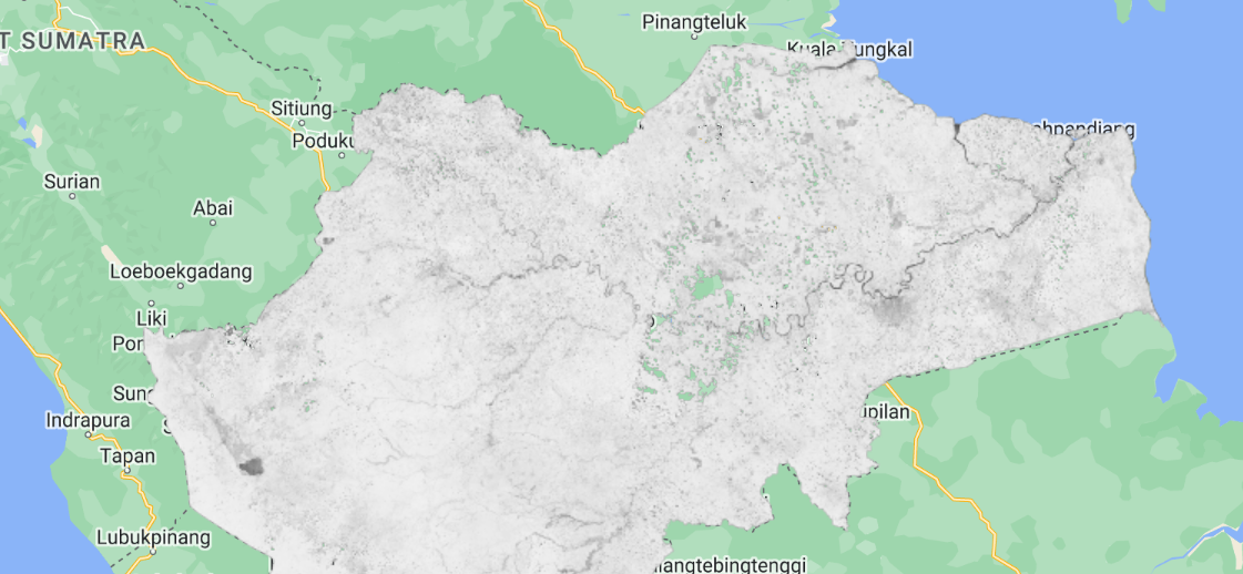
I'm using GEE for NDVI (using landsat 8) but there is many holes in my image, can someone explain me what happened? here's the code
// Function to mask clouds using the quality band of Landsat 8.
var maskL8 = function(image) {
  var qa = image.select('pixel_qa');
  /// Check that the cloud bit is off.
  // See https://landsat.usgs.gov/collectionqualityband
  var mask = qa.bitwiseAnd(1 << 5).eq(0);
  return image.updateMask(mask);
};

var filter = l8.filterDate('2021-01-01','2023-12-31').map(maskL8).median().clip(table);


var ndvi = filter.normalizedDifference(['B5','B4']);
var lst = filter.select(['B10']).subtract(273);

Map.addLayer(lst)
Map.addLayer(ndvi)
Export.image.toDrive({
  image: ndvi,
  scale: 100,
  description: 'MAXENT-NDVI',
  region: table,
  maxPixels: 1e12
});


pixel_qabits definition directly in the GEE collection information to mask exactly what you want, for example: developers.google.com/earth-engine/datasets/catalog/….pixel_qa) I assume you are running an old code relying on Landsat Collection 1