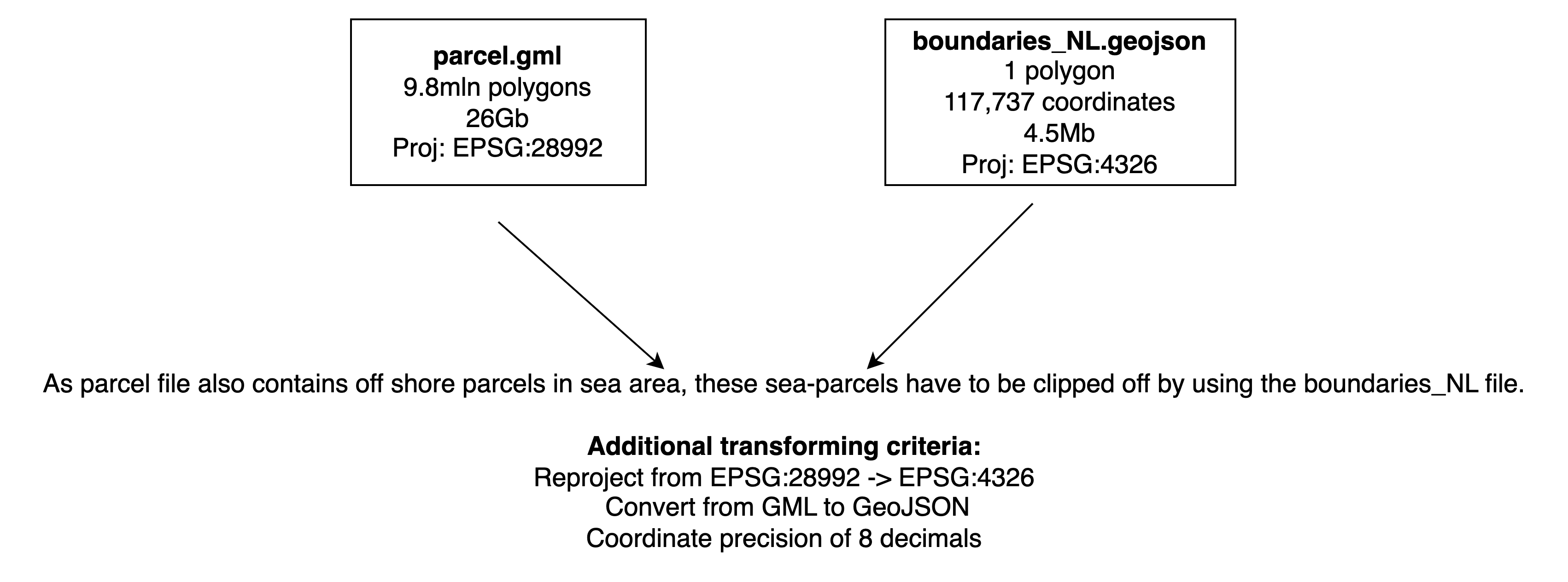
With help from this forum I developed an ogr2ogr command to transform and reproject a gml file holding cadastral parcel polygons.
ogr2ogr -lco COORDINATE_PRECISION=8 -f "GeoJSON" parcel.geojson
-t_srs "EPSG:4326" parcel.gml -sql "select gml_id as id, begrenzingPerceel from perceel"
As the parcel file also holds irrelevant offshore parcels, I would like to clip them off. Therefore I added a -clipdst option to the command:
ogr2ogr -lco COORDINATE_PRECISION=8 -f "GeoJSON" parcel.geojson -clipdst boundaries_NL.geojson
-t_srs "EPSG:4326" parcel.gml -sql "select gml_id as id, begrenzingPerceel from perceel"
The question is whether this is the most efficient solution as the processing time increased from 20 minutes to 32 hours. The following image gives an overview of the issue:

